

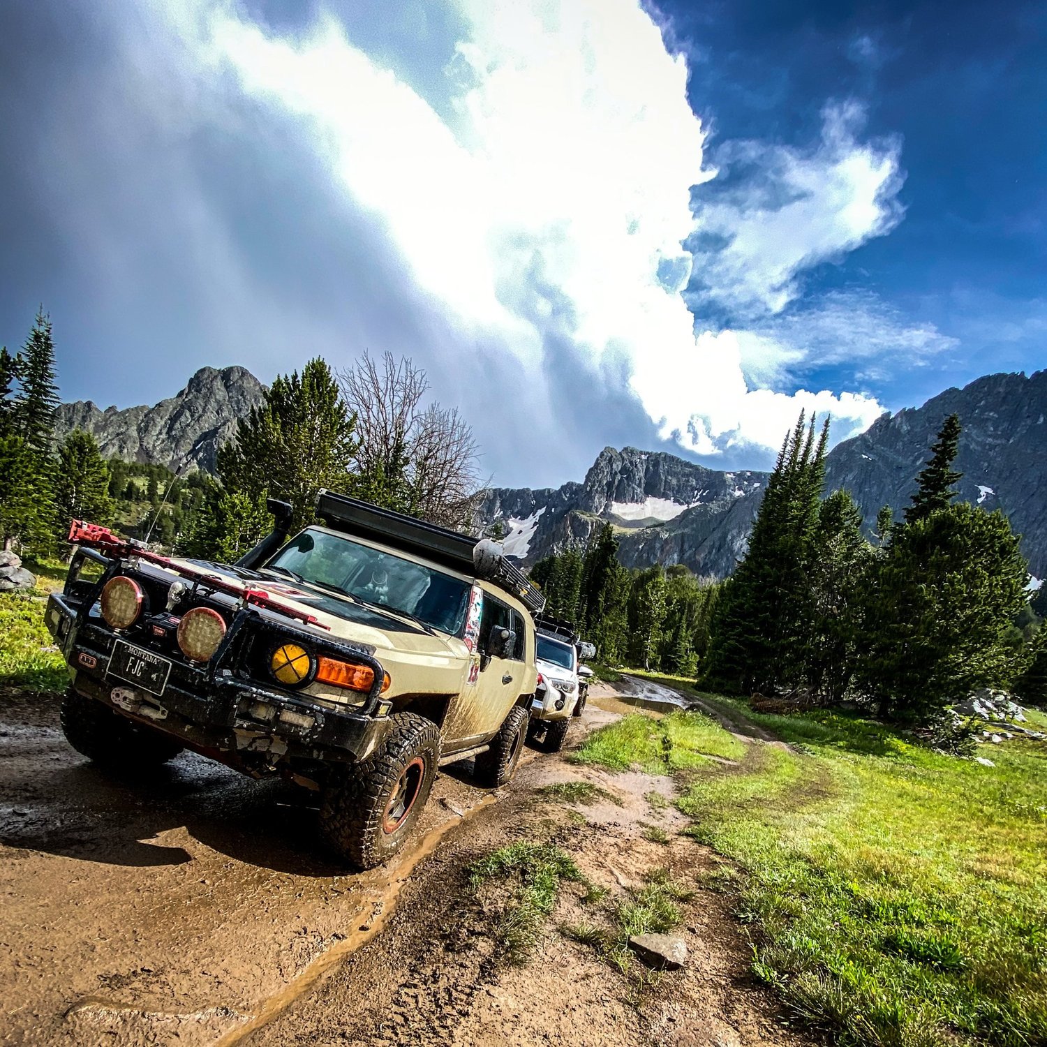
Blue Lake
High Country to Blue Lake
A remote high-country run south of Box Canyon, past the Independence mining ghost town, to the end of the motorized route about 200 yards short of Blue Lake. It is a full-day trip: the trail itself starts roughly 48 miles from Big Timber.
Moderate · Low Range Useful
AGF rates a trail by its hardest unavoidable obstacle in normal dry conditions. Beyond the Main Boulder approach the high-country road is rocky, steep and bumpy, with several spots where low range helps and rough bridge or bypass areas. AGF drove the full route in August 2020. Snow, high water and mud can raise the difficulty a lot.
Snow, mud, runoff, deadfall and fire are condition changes, not part of the base rating.
Getting There
From Big Timber, follow the Main Boulder Road south to the Box Canyon area (legacy route sources put the trailhead roughly 48 miles from Big Timber). The permitted low-water crossing is about 2.2 miles south of Box Canyon. Independence is about 5 miles past the Box Canyon Trailhead, and the road continues about 4 more miles toward Blue Lake (Billings Gazette, 2025). The motorized route ends about 200 yards short of the lake.
The pin marks Blue Lake. No downloadable track is published: AGF's 2020 recording predates the 2026 low-water crossing, so it would not show the current detour.
Rig Requirements
- Stock 4x4
- Yes
- High clearance
- Required
- Tires
- 31-inch minimum
- Rear locker
- Recommended
- Front locker
- No
- Winch
- Recommended
- Full-size
- Limited
- Body damage
- Moderate risk
Narrow primitive road, brush, rocks and limited passing and turnaround space make long or wide full-size rigs a poor fit. Carry a saw, full-size spare, rated recovery points, radio, offline maps and extra fuel.
Know Before You Go
- Season
- Short high-country summer season; snow, runoff and bridge dependent
- Seasonal restrictions
- Verify on the current MVUM
- Typical trip
- Full day
- Camping
- Yes
- Trailer parking
- Yes
- Turnaround
- Limited
- This is grizzly country. Check the Custer Gallatin alerts page for the current food storage order.
- Check the low-water crossing level before committing; do not drive a crossing you cannot see the bottom of.
- Stay on the designated route. Private land and county road sections mix along the Main Boulder corridor.
On the Trail
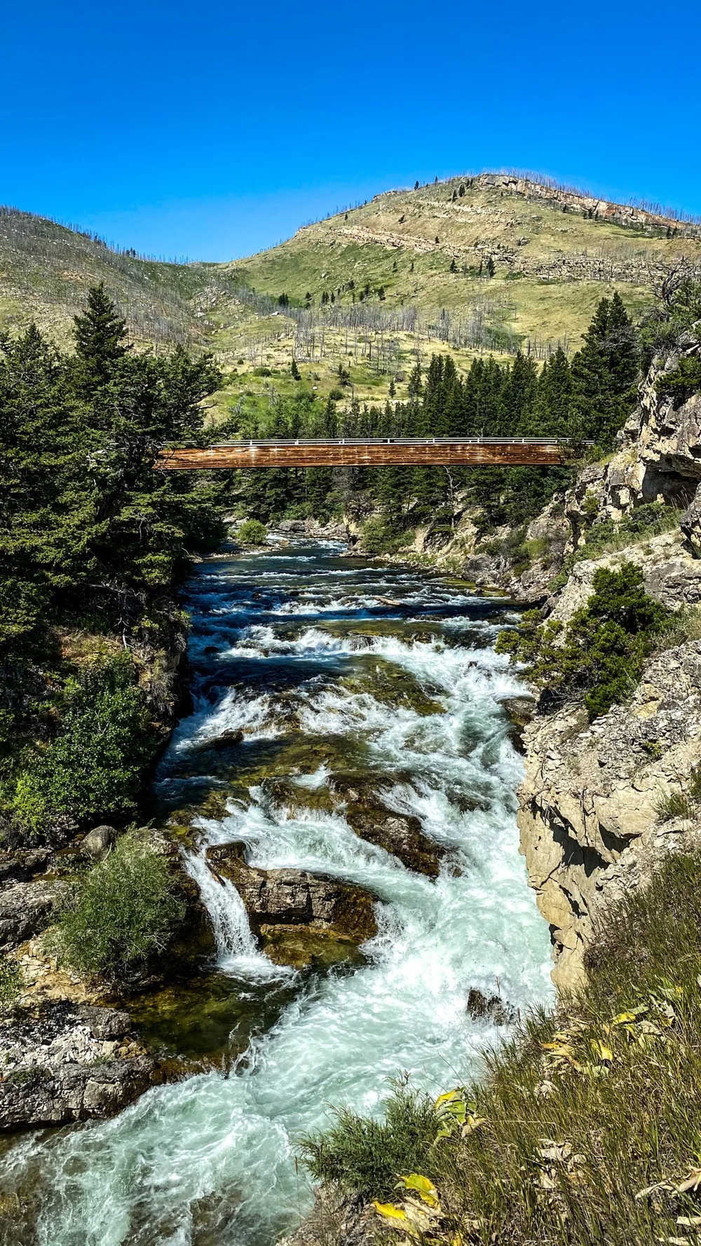
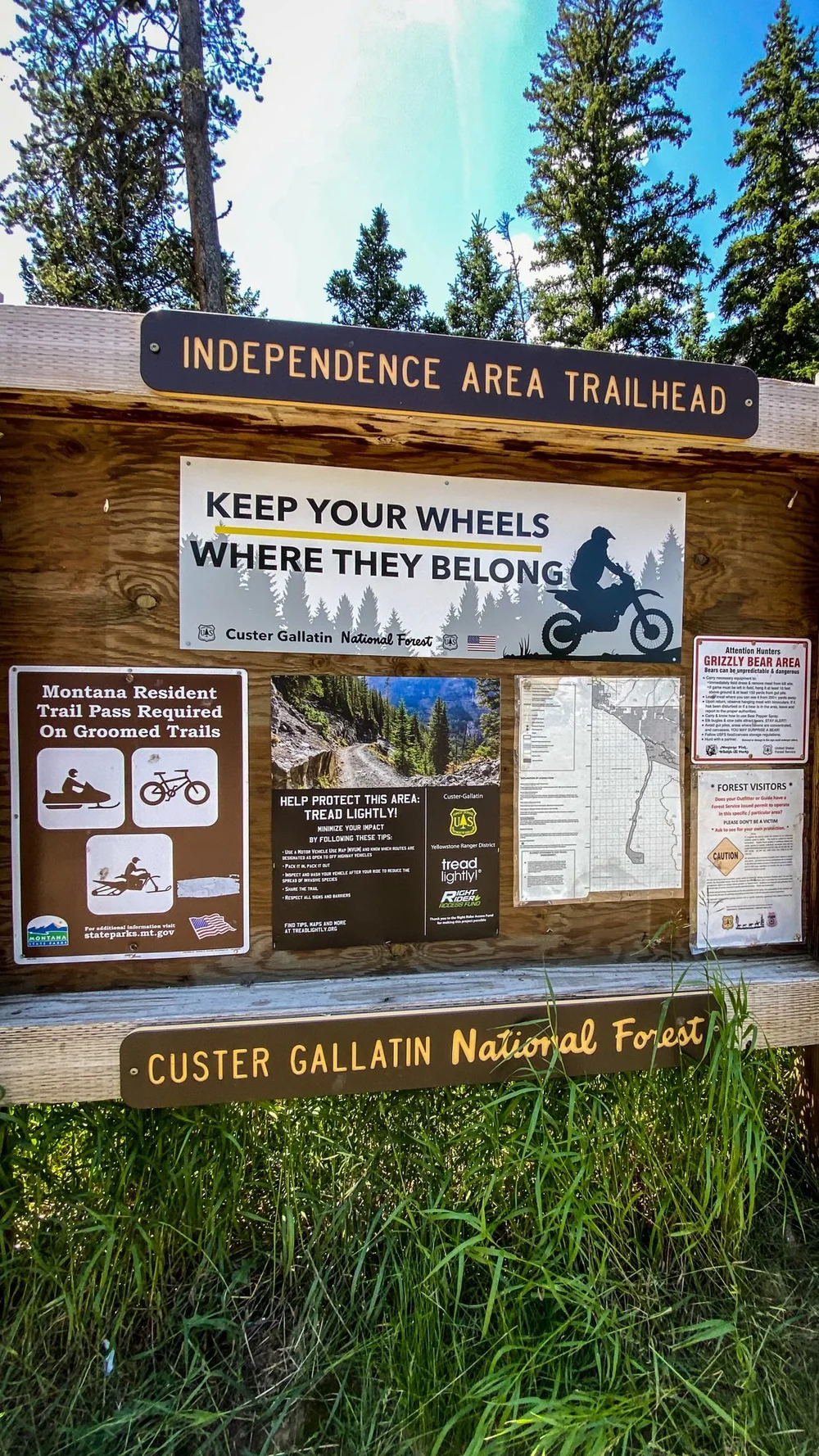
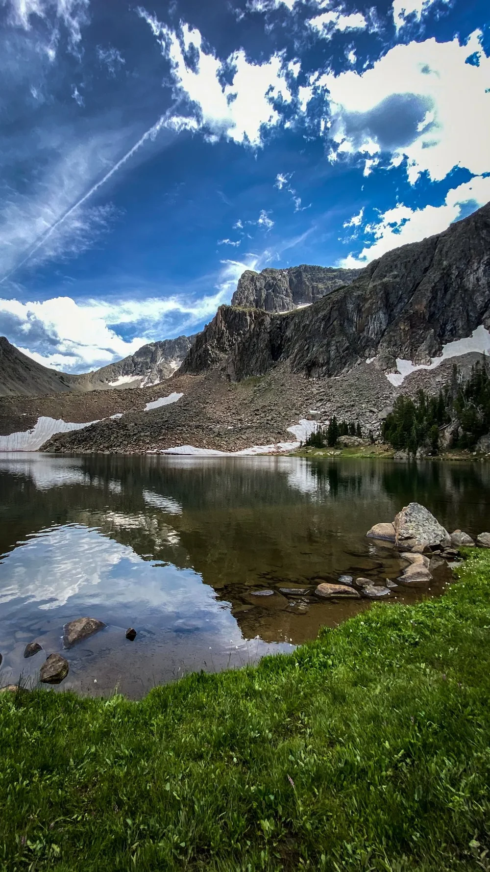
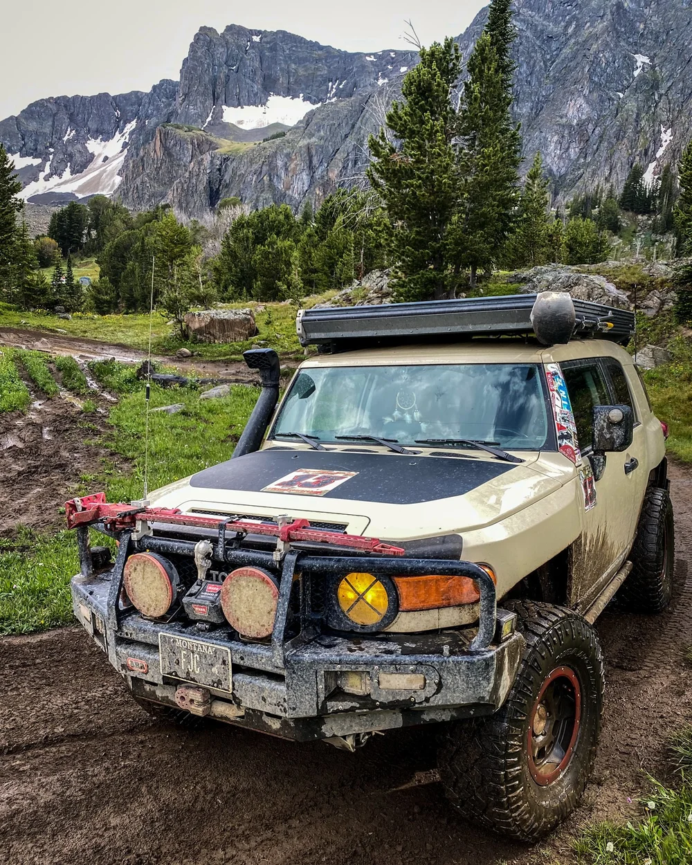
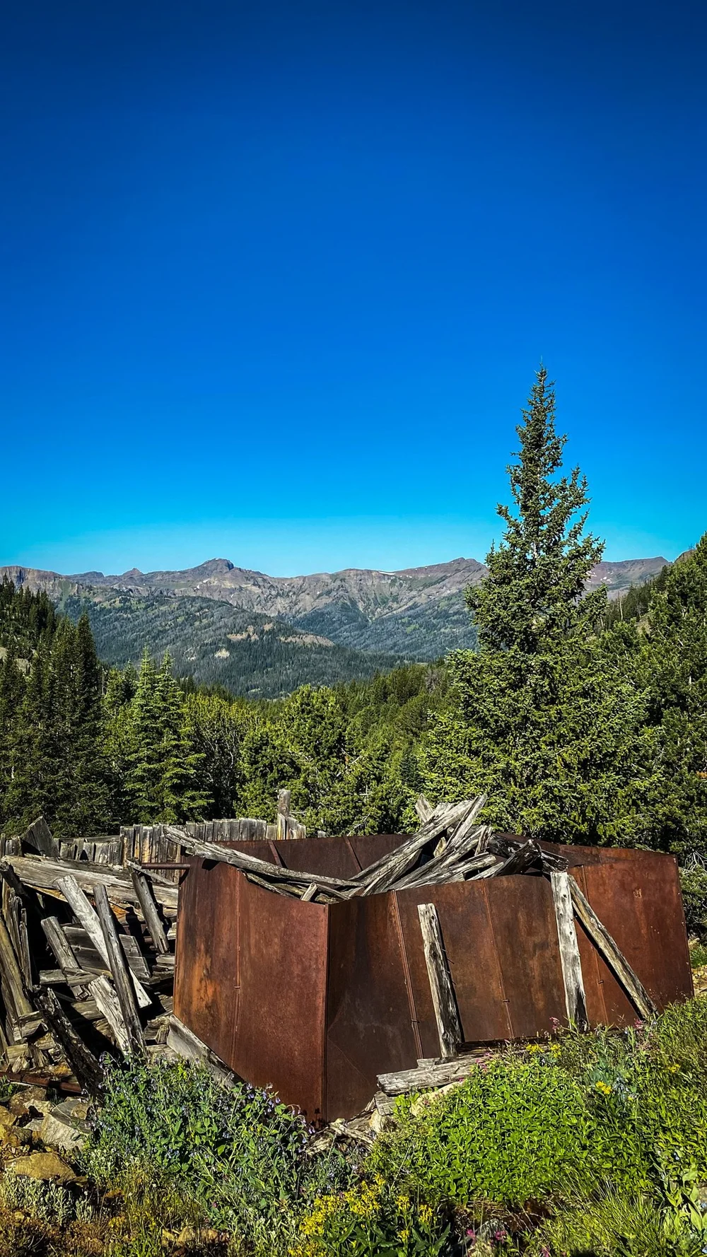
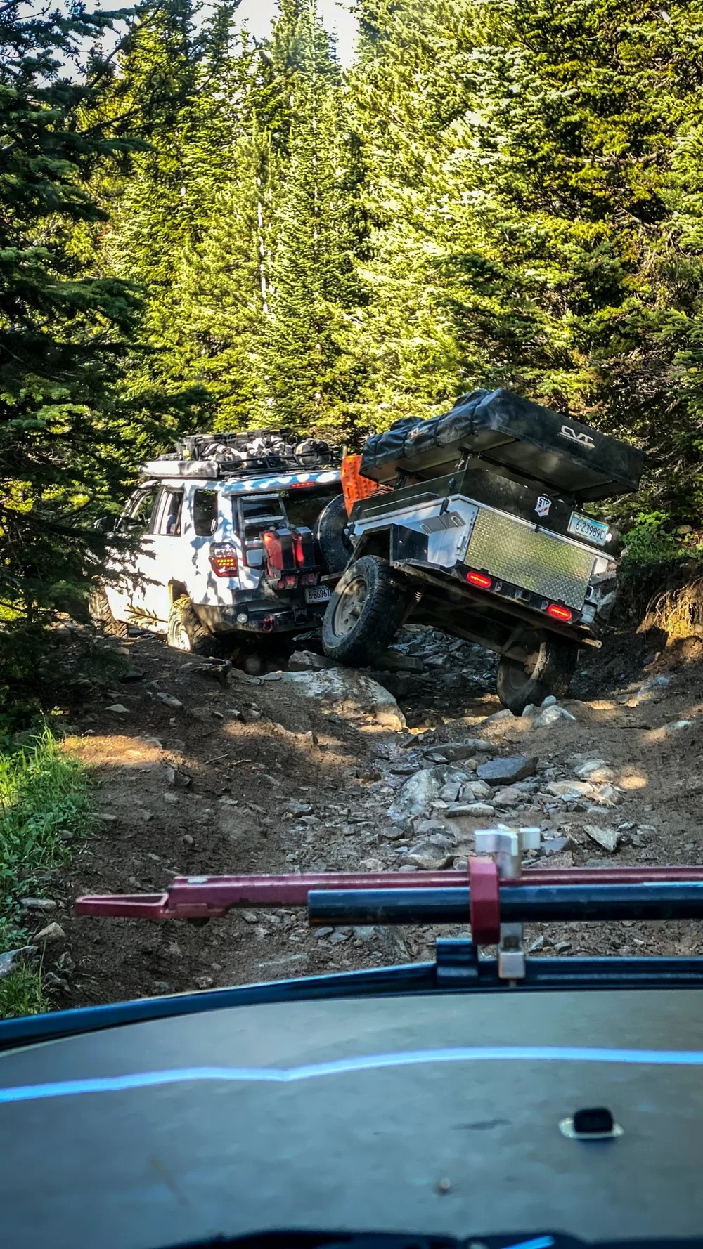
Photos: Aaron Thies / AGF, Aug 1–2, 2020. They show the route on that trip, not current road or bridge conditions.
Sources & Review
- AGF: A Bypass for Blue Lake, and Morrison's Back (Sept. 18, 2026; permitted low-water crossing)
- Billings Gazette via Montana Outdoor: A perfect storm of problems for popular Boulder River road (June 2025; Park County closure, bridges, distances to Independence and Blue Lake)
- Livingston Enterprise: 'Raise the Boulder bridges' (Sept. 2025; collapsed bridges south of Box Canyon)
- Livingston Enterprise: Park County seeks federal funding for sheriff's office, bridges (2026; bridge funding)
- Custer Gallatin National Forest alerts (current orders and closures)
- Montana FWP Blue Lake access description (cited in the AGF trail record; places the lake about 200 yards past the end of the motorized route)
Last reviewed Oct. 8, 2026. AGF contacts report the full route passable via the low-water crossing. Whether Park County has lifted its 2024 closure, the current water level and road condition are not verified. AGF last drove the full route on Aug. 1, 2020.
AGF ratings describe normal, dry-condition difficulty. They do not mean a route is legal, open or passable today. Spot something out of date? Use the Contact page.