

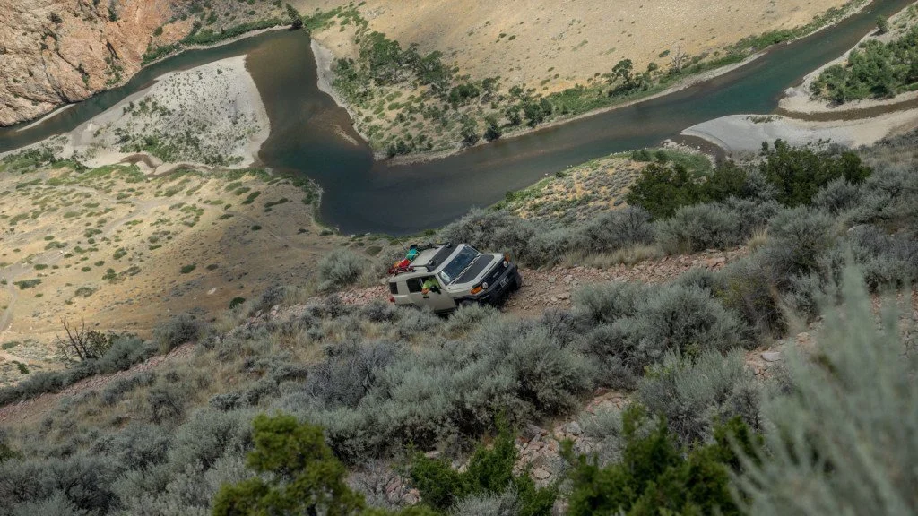
Morrison Jeep Trail
Clarks Fork Canyon to the Switchbacks
From the trailhead at the base of Clarks Fork Canyon up the Morrison switchbacks toward the Beartooth Plateau, driven out and back as the Forest Service asks.
Difficult · Exposure
AGF rates a trail by its hardest unavoidable obstacle in normal dry conditions. The defining section is the steep, narrow switchback climb: severe exposure, very little line choice, repeated multi-point turns, off-camber articulation and no safe turnaround once committed. This rating is from AGF's 2016–2018 runs on the historic route. Wet weather, snow and loose rock make it far more dangerous.
Snow, mud, runoff, deadfall and fire are condition changes, not part of the base rating.
Getting There
Official directions were not found. Secondary sources (a 2015 forum post and Cowboy State Daily) describe the south end: from Cody, take WY-120 north, then head west to Clark (no fuel in Clark; fill up in Cody, Powell or Belfry), then west on Clarks Fork Canyon Road to the trailhead at the base of the canyon, which Cowboy State Daily describes as a BLM trailhead. Road names, numbers and mileages are unverified: confirm them on the current Shoshone MVUM. Ranch land may border the canyon road approach (not confirmed); stay on the road and leave gates as you find them.
The pin marks the shared start of AGF's 2016 and 2017 tracks. No downloadable track is published: the switchbacks were rebuilt after AGF's last run, and the trailhead coordinates are unverified.
Rig Requirements
- Stock 4x4
- No
- High clearance
- Required
- Tires
- 33-inch minimum
- Rear locker
- Recommended
- Front locker
- Recommended
- Winch
- Recommended
- Full-size
- Limited
- Body damage
- Very high risk
Built 4x4s and experienced drivers only. Plan on 33-inch tires, a rear locker (front helps), armor and redundant recovery gear, but expect few useful winch anchors on the switchbacks. Long pickups and full-size rigs face much higher body, rollover and backing risk. Do not go alone.
Know Before You Go
- Season
- Mid-July through early fall; snow dependent
- Typical trip
- Full day; allow extra time for the out-and-back
- Camping
- Yes
- Trailer parking
- Limited
- Turnaround
- Limited
- Grizzly country: Shoshone food and attractant storage order SHO-23-002 applies Mar. 1–Dec. 1.
- Fire danger was listed as Very High as of Oct. 8, 2026, with no fire-restriction order posted; check before any campfire.
- Remote, high-elevation route with fast weather changes. Carry extra fuel, offline maps and satellite communication.
- Road numbers (FR 119 and FR 120) come from secondary sources; confirm them on the current MVUM.
On the Trail
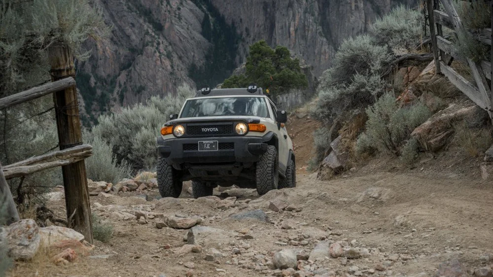
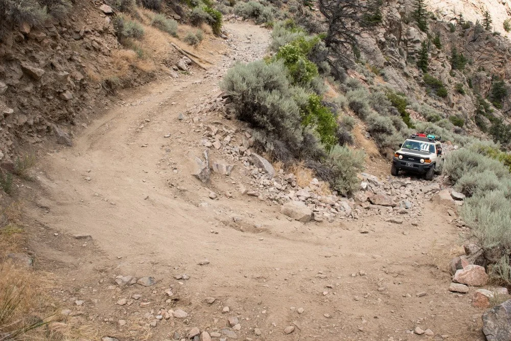
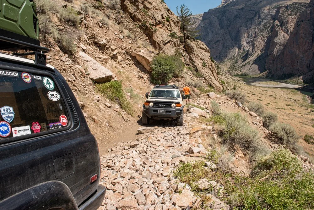
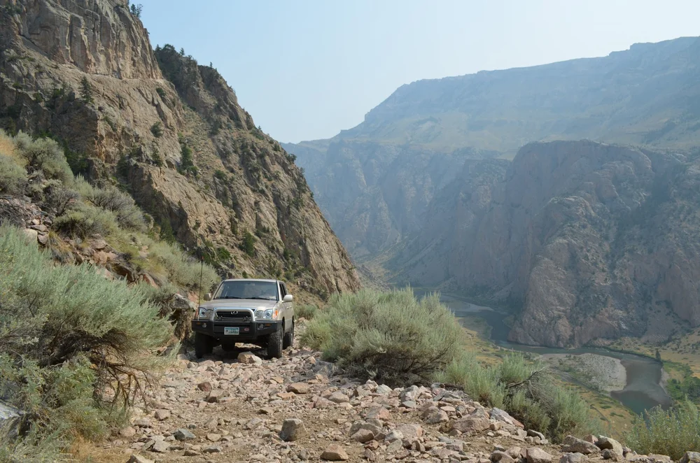
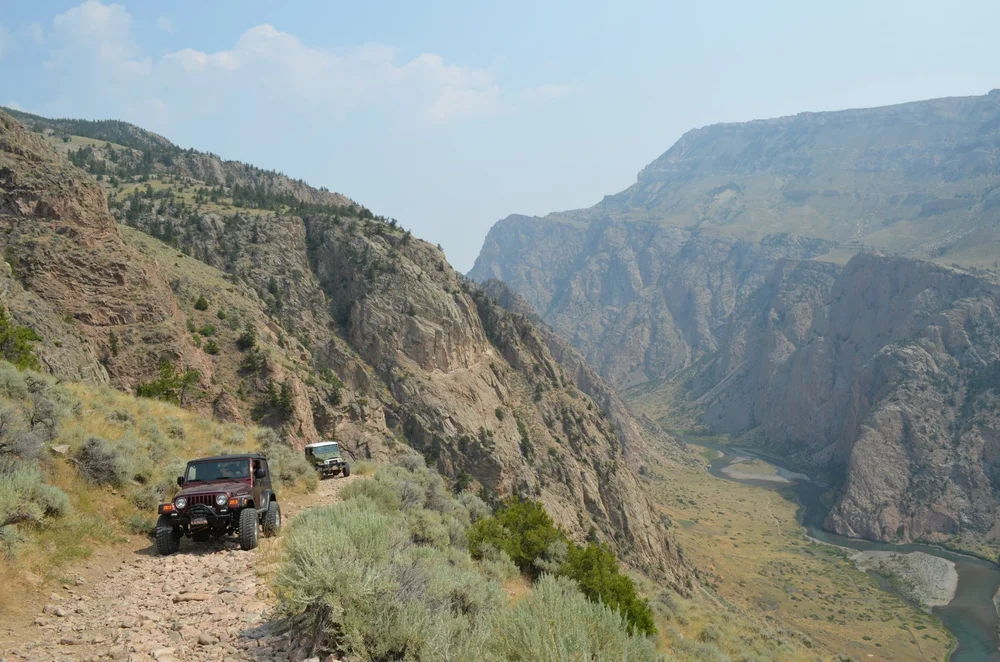
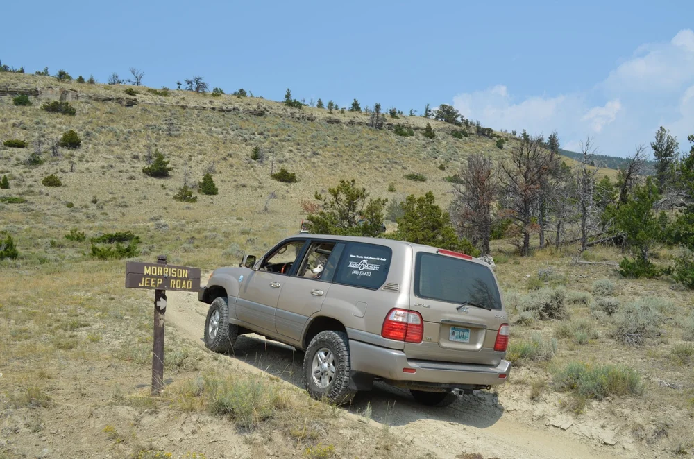
Photos: Aaron Thies / AGF, 2016 and 2017 runs, before the 2022 flood and the 2026 rebuild. They do not show current conditions.
Sources & Review
- Shoshone NF alert: Morrison Jeep Trail (no closures; out-and-back request; updated Sept. 14, 2026)
- Shoshone NF alerts and notices (checked Oct. 8, 2026)
- Shoshone NF Order SHO-23-002: food and attractant storage (Mar. 1–Dec. 1)
- Shoshone NF offices (Clarks Fork, Greybull and Wapiti districts, Cody, 307-527-6921)
- Cowboy State Daily: Morrison Jeep Trail Blasted To Open Its 27 Rugged Switchbacks After 4 Years Closed (Sept. 20, 2026; Phase One done, Phase Two 2027+)
- TrailsOffroad: Morrison Jeep Trail (secondary; terrain and road number)
- Toyota-4Runner.org forum post (secondary; forum, Feb. 2015; directions and private road)
- GoRancho: Trail Spotlight, Morrison Jeep Trail (secondary; snow season)
Last reviewed Oct. 8, 2026. No closure is in effect, but the Forest Service asks for out-and-back travel and the upper section has not been rebuilt. AGF last drove it on Aug. 11, 2018, before the 2022 flood.
AGF ratings describe normal, dry-condition difficulty. They do not mean a route is legal, open or passable today. Spot something out of date? Use the Contact page.