

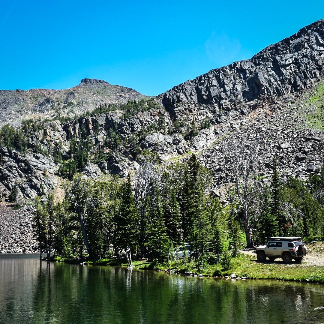
Noble Lake
Wisconsin Creek to Noble Lake
From Sheridan up Wisconsin Creek Road to Noble Fork Road 8300, which climbs from about 5,100 feet toward Noble Lake at about 9,025 feet in the Tobacco Roots.
Easy · High Clearance
AGF rates a trail by its hardest unavoidable obstacle in normal dry conditions. The first roughly 5.5 miles are well-maintained road; the upper road climbs steeply with persistent rocks, rough sections, a creek crossing and a couple of steep grades. No locker or winch is required. AGF drove it on Aug. 3, 2019.
Snow, mud, runoff, deadfall and fire are condition changes, not part of the base rating.
Getting There
Official directions were not found. A 2014 trip report describes access from Sheridan: take Wisconsin Creek Road (FS 157) west of town; Noble Fork Road (FS 8300) splits from FS 157 about 6 miles from Sheridan and climbs toward Noble Lake (Backcountry Post, secondary). The lower approach likely lies outside the National Forest boundary (land status not verified), so stay on the road and respect private property.
The pin marks Noble Lake. No downloadable track is published: AGF's 2019 recording is not yet matched to the current MVUM, including where motor vehicles must stop.
Rig Requirements
- Stock 4x4
- Yes
- High clearance
- Recommended
- Tires
- 31-inch minimum
- Rear locker
- No
- Front locker
- No
- Winch
- No
- Full-size
- Limited
- Body damage
- Moderate risk
Full-size rigs can manage in good conditions, but the upper road narrows through brush and timber. Four-wheel drive is recommended for traction and to protect the road. Carry a saw, full-size spare and recovery gear.
Know Before You Go
- Season
- July 1–March 31 above milepost 1.82 (2017 MVUM; verify current); snow limits access much sooner
- Typical trip
- Half to full day
- Camping
- Yes
- Trailer parking
- Yes
- Turnaround
- Limited
- The 2025 Cloudrest Fire burned nearby; expect possible hazard trees, deadfall and post-fire erosion.
- A bridge on Noble Fork Road was partly washed out in 2012; its current condition is not verified.
- A food storage order applies Mar. 1–Dec. 1 on the Beaverhead-Deerlodge.
On the Trail
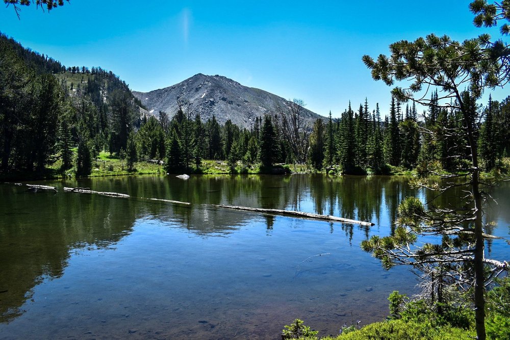
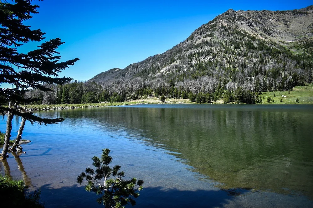
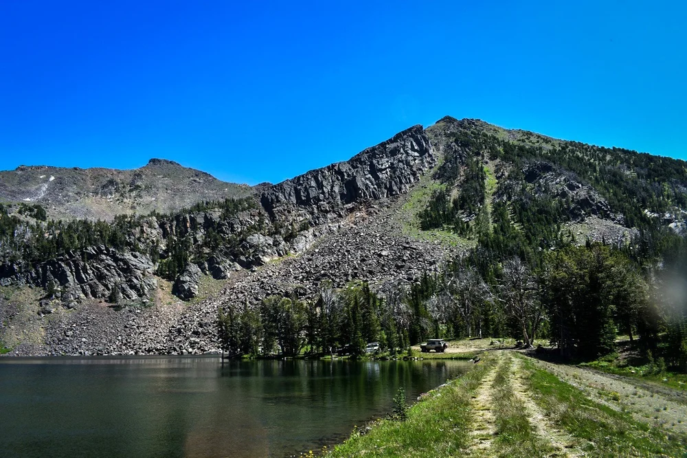
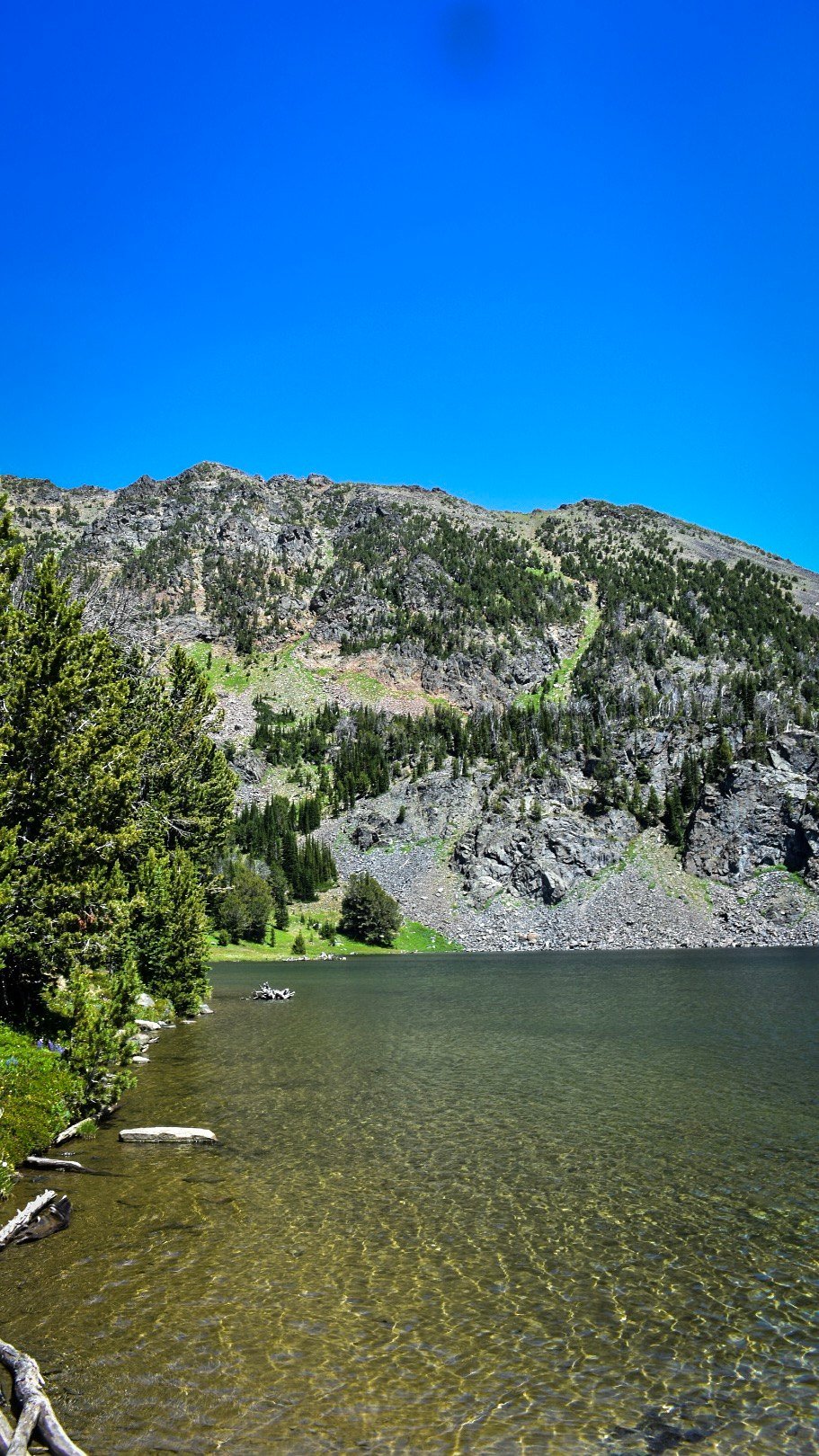
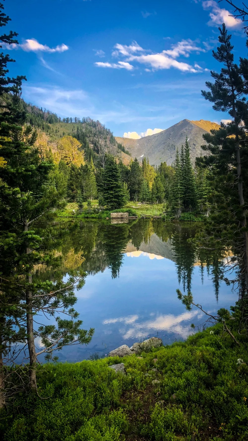
Photos: Aaron Thies / AGF, Aug 3, 2019. A vehicle at the lake in these 2019 photos does not mean motor vehicles may drive there today. Check the current MVUM, as the warning above says.
Sources & Review
- USFS Tobacco Root Mountains MVUM (2017) (8300 mileposts and seasonal dates)
- Beaverhead-Deerlodge National Forest alerts (checked Oct. 8, 2026; no current order for 8300)
- KXLF: Updates on fire closures near Beaverhead-Deerlodge National Forest (Sept. 17, 2025; FS 157 and 8300 closed from the Forest boundary)
- Madison Ranger District (406-682-4253)
- Backcountry Post: Tobacco Root Mountains, Noble Fork (secondary, 2014; directions and 2012 bridge note)
Last reviewed Oct. 8, 2026. No current closure found. Whether motor vehicles may legally reach the lake is unconfirmed (see the warning above). AGF last drove it on Aug. 3, 2019.
AGF ratings describe normal, dry-condition difficulty. They do not mean a route is legal, open or passable today. Spot something out of date? Use the Contact page.