

Ringing Rocks
Standard Access Only
A scenic high-clearance drive on BLM land to the Ringing Rocks, a field of boulders that ring like metal when struck. In normal dry conditions the signed standard access is appropriate for a stock high-clearance 4x4.
Easy · High Clearance
AGF rates a trail by its hardest unavoidable obstacle in normal dry conditions. The standard road is not technical, but BLM states a high-clearance vehicle is necessary. The score does not inherit difficulty from the harder Pipestone and Hard Way variants nearby.
Snow, mud, runoff, deadfall and fire are condition changes, not part of the base rating.
Getting There
BLM directions: Take I-90 Exit 241 (Pipestone). Travel east on the gravel road that parallels the interstate for about three-quarters of a mile, turn north on a gravel road, cross the railroad tracks, and continue north about 3.5 miles.
The red line is AGF's own GPS track from I-90 Exit 241 to the rocks, about 4.9 miles one way (main line recorded Oct. 13, 2019; short gaps filled from 2023 and 2024 drives). The pin marks BLM's site location. The track predates BLM's 2025 work between mileposts 1.48 and 4.32; AGF confirms the route is unchanged, but follow the signed road wherever they differ. The track does not establish legal access, and it does not include the narrow Ringing Rocks Trail segments.
Rig Requirements
- Stock 4x4
- Yes
- High clearance
- Required (BLM)
- Tires
- Stock, in good condition
- Lockers
- Not required
- Winch
- Not required
- Full-size
- Generally suitable
- Crossovers
- Not recommended
- Body damage
- Low risk in normal conditions
Know Before You Go
- Season
- Not yet verified. Check with BLM before travel.
- Typical trip
- Half day
- Fee
- None (BLM)
- Camping
- Limited
- Trailer parking
- Yes
- Turnaround
- Available
- Carry a full-size spare, water and an offline map.
- Check BLM status before you leave.
- Stay on the designated road. The rocks sit in the Ringing Rocks Area of Critical Environmental Concern.
At the Rocks
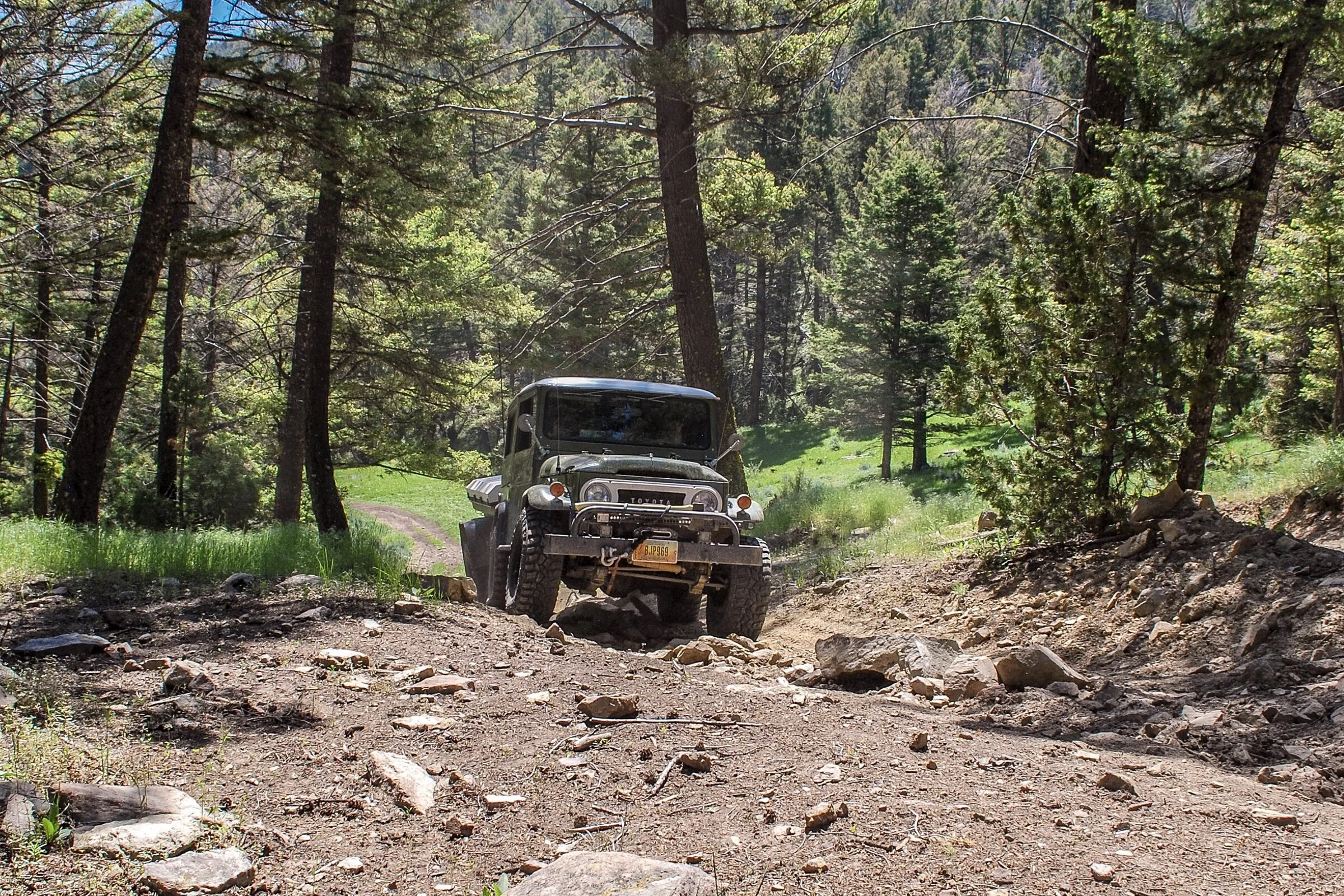
Gallery photos: Alyse Backus / Bureau of Land Management, public domain. The hero photo is AGF's own. Photos show the site and are not a record of current road conditions.
Sources & Review
- BLM — Ringing Rocks visitor page (directions, high-clearance guidance)
- BLM — Ringing Rocks Road closure during construction (Aug. 25, 2025) (realignment, mileposts 1.48–4.32)
- BLM — Road construction and recreation improvements (July 22, 2025)
- BLM Montana Ground Transportation Linear Features (road designations)
Last reviewed Oct. 8, 2026. BLM's page showed no current closure notice. AGF confirmed the route is unchanged; current surface and weather conditions are not verified.
AGF ratings describe normal, dry-condition difficulty. They do not mean a route is legal, open or passable today. Spot something out of date? Use the Contact page.