

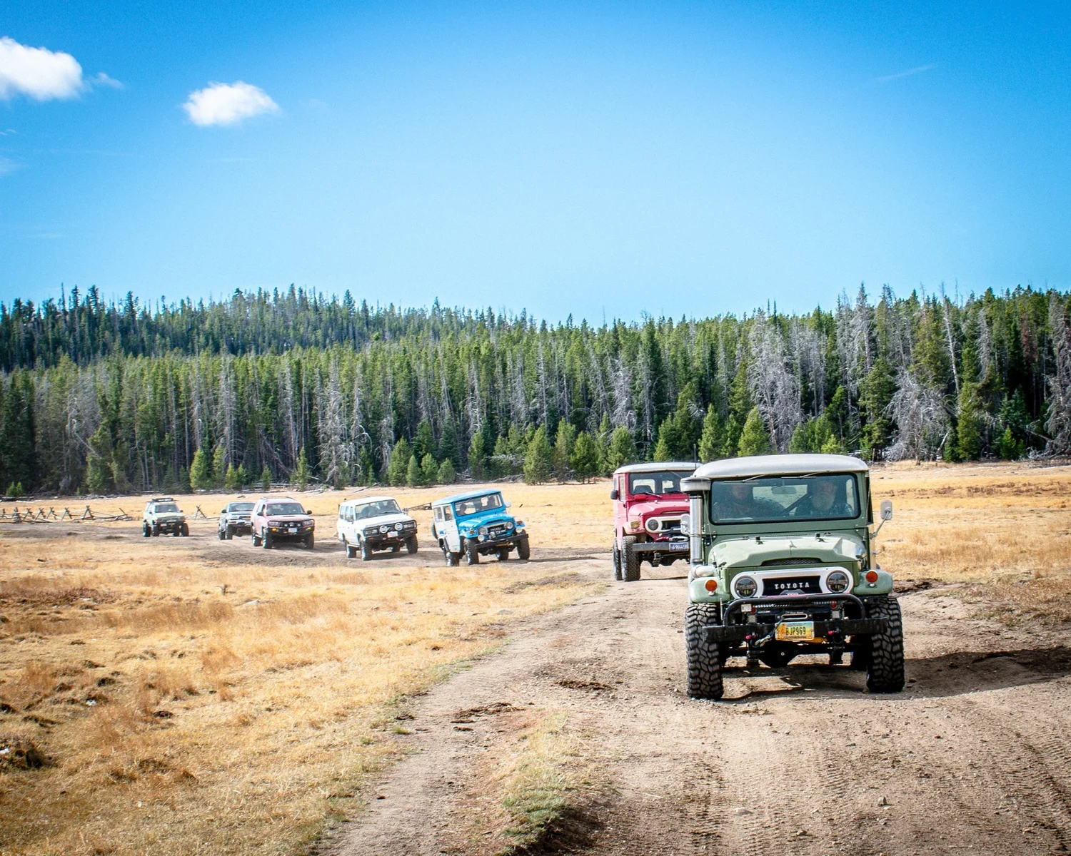
Whitetail Reservoir
The Whitetail Core
The roughly 9.6-mile one-way run from the trailhead off Delmoe Lake Road to Whitetail Reservoir, the core of AGF's Oct. 19, 2024 Relic Run.
Moderate · Mud, Rock and Water
AGF rates a trail by its hardest unavoidable obstacle in normal dry conditions. Expect a steep loose-rock hill and small ledges, tight trees, downed timber, several water crossings and unavoidable mud holes. Saturated mud, deep water, snow and ice can make it much harder or impassable.
Snow, mud, runoff, deadfall and fire are condition changes, not part of the base rating.
Getting There
From Butte, take I-90 east about 7.2 miles to the Homestake exit (Exit 233), turn left at the end of the ramp, and follow Delmoe Lake Road (FS Road 222) about 9.6 miles toward Delmoe Lake (USFS directions as relayed by Outdoorithm). Do not turn onto FS Road 9371: it is closed through Oct. 31, 2026. onX (secondary) says the Whitetail route branches off FS 222 southeast of the lake; confirm the closure boundary before you turn off.
The pin marks the trailhead (AGF record). No downloadable track is published: AGF's 2024 recording combines this route with separate roads and is not yet matched to the MVUM.
Rig Requirements
- Stock 4x4
- Yes
- High clearance
- Required
- Tires
- 31-inch minimum
- Rear locker
- Recommended
- Front locker
- No
- Winch
- Recommended
- Full-size
- No
- Body damage
- High risk
Tight trees, mud holes, water crossings and little recovery room make full-size and long-wheelbase rigs a poor choice. Bring a saw (downed trees are common), a winch or partner vehicle, radio and offline maps. 33-inch tires add margin when wet.
Know Before You Go
- Season
- Summer through early fall; snow, runoff and saturated soil control access
- Typical trip
- Full day; about 2.5 hours each way
- Camping
- Limited
- Trailer parking
- Yes
- Turnaround
- Limited
- Expect 3–4 water crossings up to about 24 inches deep in late summer, and grazing cattle (onX, secondary).
- Butte Ranger District bans leaving pallets or other items with nails or screws on National Forest land.
- A food storage order applies Mar. 1–Dec. 1 on the Beaverhead-Deerlodge.
On the Trail
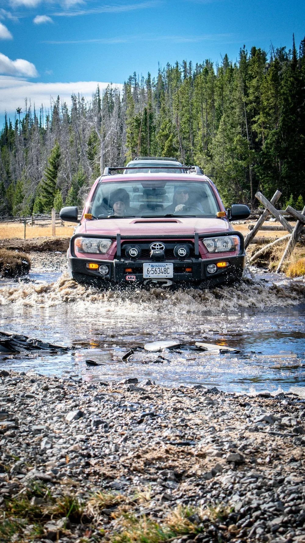
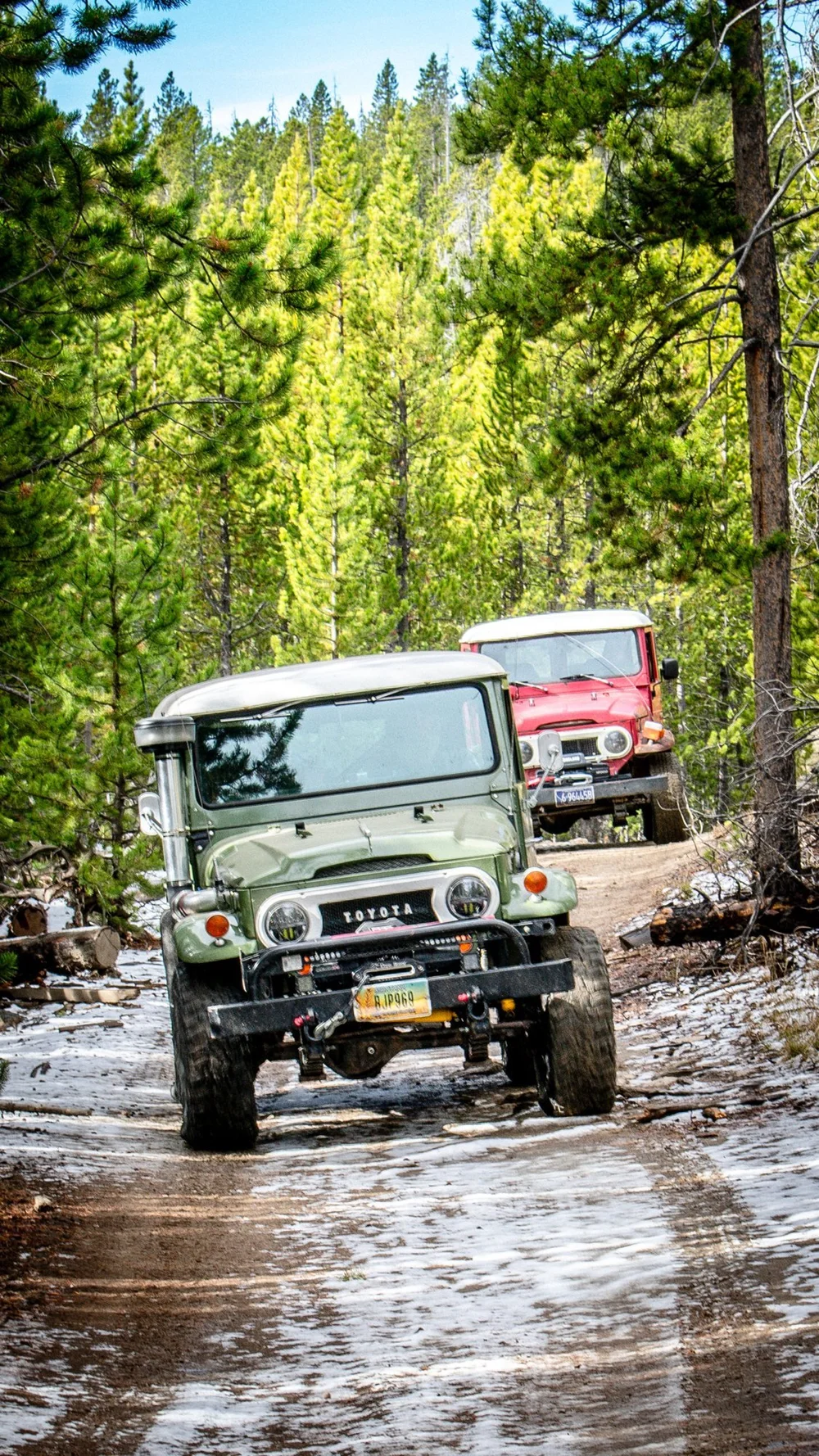
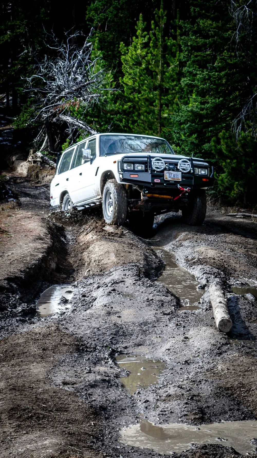
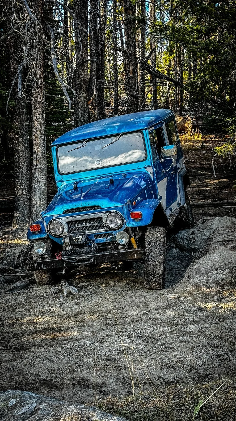
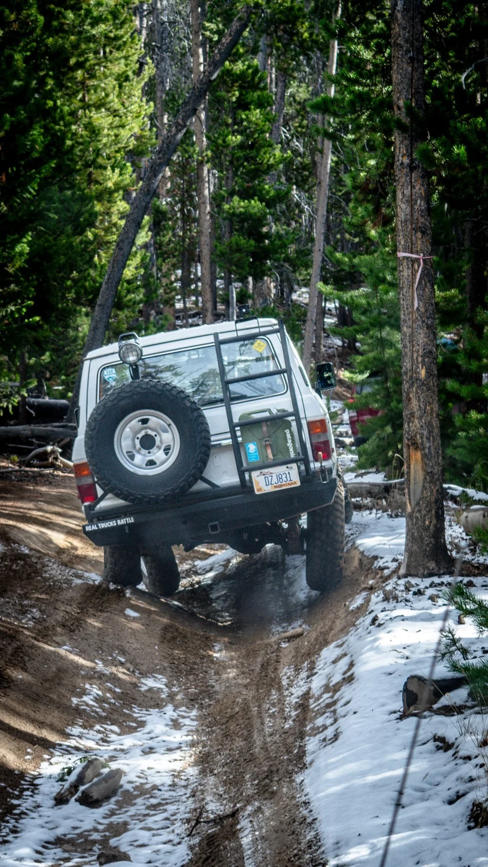
Photos: Aaron Thies / AGF, 2024 Relic Run, Oct 19, 2024. They show the route on that day, not current conditions or closures.
Sources & Review
- USFS: Delmoe Lake Area/Road Closure, Order 01020426-01 (Apr. 1–Oct. 31, 2026)
- Beaverhead-Deerlodge National Forest alerts (checked Oct. 8, 2026)
- Whitehall Ledger: Delmoe Lake Campground road closed through October (Apr. 1, 2026)
- Outdoorithm: Delmoe Lake Campground (secondary; relays USFS directions)
- onX Offroad: Whitetail Reservoir (secondary; start off FS 222, water crossings)
Last reviewed Oct. 8, 2026. No order names the Whitetail route itself; whether the route start sits inside the Delmoe closure area is unconfirmed, so call Butte Ranger District before going. AGF last drove it on Oct. 19, 2024.
AGF ratings describe normal, dry-condition difficulty. They do not mean a route is legal, open or passable today. Spot something out of date? Use the Contact page.