

Montana • Trail Access • Map Reading
How to Readan MVUM
The Forest Service and BLM maps that decide where you can legally drive, line by line, and what to do when onX or Gaia says something different.
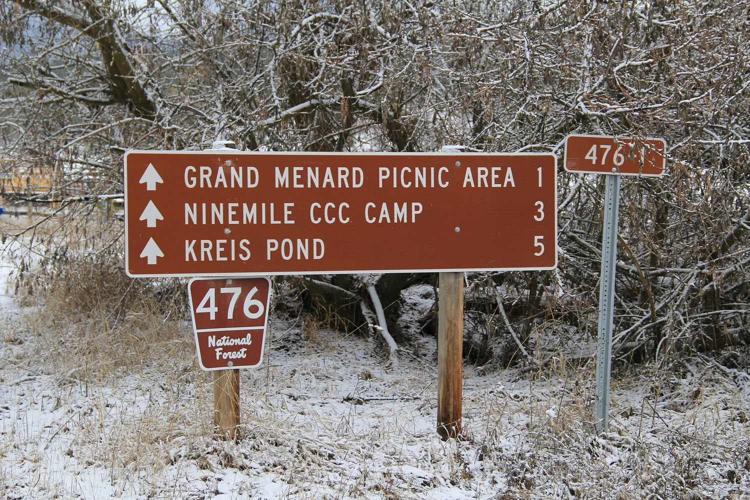
On National Forest land, one map decides whether you can drive a road: the Motor Vehicle Use Map. The Custer Gallatin's own maps page says routes not shown on the MVUM are not open to public motor vehicle travel, and that staying on designated routes is your responsibility.
Not even the Forest Service's prettier visitor map counts. The Helena-Lewis and Clark's Little Belt recreation map tells readers that MVUMs are updated more often than it is, and to carry one.
BLM land works the same way through field office travel maps. Here's how to read both, and what to do when your phone says something different. If you haven't sorted out whose land you're on yet, start with A Road on the Map Isn't Permission.
Reading an MVUM
An MVUM looks sparse on purpose. It's a legal list of what you may drive, drawn as a map, not a navigation tool. Read it in this order:
- Check the year on the cover. Designations stay in effect until the next year's MVUM replaces them, and keeping a current one is your job.
- Find your route number. If the road isn't drawn as a designated route, it's closed to you, whether or not there's a sign. Lines labeled as other public roads are there for navigation only.
- Read the line symbol for vehicle class. This is where full-size rigs get caught.
- Check the seasonal table. A dotted overlay or letter code points to a table of open dates.
- Look for dispersed camping or game retrieval dots. These allow limited driving off the route, only to the distance the map states, and only for that purpose.
- Read the back panel. Parking distance, special orders and local rules live there.
| Line on the MVUM | What it means for a 4x4 |
|---|---|
| Road open to highway-legal vehicles only | Plated, street-legal rigs only. No unplated UTVs or dirt bikes. |
| Road open to all vehicles | Plated rigs, plus OHVs allowed under state law. |
| Trail open to all vehicles | The true 4x4 trails. Full-size welcome. |
| Trail open to vehicles less than 50" wide | Measured at the widest point of the vehicle. Your truck is too wide. |
| Trail open to motorcycles only | Single-track. Not for you. |
| Seasonal designation | Open only during the listed dates. |
The details vary by forest. The 2026 Kisatchie MVUM in Louisiana allows parking up to 50 feet from the road edge. In Montana's Little Belts, you can drive up to 70 feet off the road to reach a dispersed camp. Don't carry one forest's numbers into another.
One more catch: a route marked open isn't a promise that it's passable. MVUMs say plainly that a designation doesn't mean a road is maintained or safe.
Reading a BLM Travel Map
BLM has no single national map like the MVUM. Each field office publishes its own travel plan maps, so the legend changes from one to the next. Read them in two layers.
Layer 1: the area designation. BLM classifies ground as open, limited or closed to motorized travel. In Montana, almost everything you'll drive is "limited." BLM has banned wheeled cross-country travel statewide since 2003, outside a few designated intensive-use OHV areas.
Layer 2: the route designation. Where a field office has finished a travel plan, wheeled travel is restricted to designated routes. Butte Field Office maps say it directly: roads on BLM land that aren't shown are closed. The symbols then tell you whether each route is open yearlong, seasonally or only to certain vehicle classes.
What trips people up on BLM maps:
- Non-BLM routes are drawn too. A road shown in a "non-BLM route" or "other routes" style may cross private or state land. The BLM map doesn't authorize you to drive it.
- Seasonal tables are separate. Like an MVUM, the dates usually live in a table on the map, keyed by a code on the route.
- Land status isn't guaranteed. BLM maps carry a no-warranty notice on land data. Confirm ownership with your app's land layer or the county.
- No plan yet? Then the 2003 rule applies: stay on existing roads and trails, and call the field office before assuming any two-track is fair game.
When onX or Gaia Disagrees
That's not a knock on the apps. onX says it builds its trail layers from MVUMs and other agency sources, plus its own Trail Guide program. It also says private and government land data is refreshed every one to two years. An MVUM can change every year, and a closure order can drop any week. A layer that copies the legal map is only as current as its last import.
| What you see | What to do |
|---|---|
| App shows a route; MVUM or BLM map doesn't | Treat it as closed. |
| MVUM shows it open; app shows it closed | Legally open per the MVUM. Check the forest's alerts for a temporary order before you go. |
| MVUM shows it open; sign on the ground says closed | Obey the sign. Forests can close routes temporarily by order, and you must comply. Call the district afterward. |
| MVUM shows it open; locked gate | Don't go around it. Note the location and report it. |
| App shows a route across private land to public land | Don't assume an easement. Confirm it with the agency. |
Use the app for what it's good at: land ownership, offline navigation, tracking and trip planning. Use the agency map to decide what's legal. Load the official MVUM PDF onto the same phone and check both.
Report what you find. When an app is wrong, use its built-in error report. onX notes that error reports help it decide where to fix data first. If the problem is on the ground, like a blocked easement or a missing sign, onX's own advice is to tell the land management agency rather than assume the sign or the map is right. Fixing the data helps the next person more than any forum post.
Where to Get the Current Maps
- MVUMs: Free from each forest's maps page, as paper copies at ranger district offices, and as free geo-referenced PDFs in the Avenza Maps app. Near Bozeman, the Custer Gallatin publishes them by area, like the Bridger/Bangtail and Crazy Mountains MVUMs. The AGF Motor-Use Map Archive collects them by area.
- BLM travel maps: From each field office's page on blm.gov; many are also on Avenza.
- Closures: The forest's alerts page or the field office, the week you go.
Download before you lose signal, and check that the year on the map is the current one.
This post is general guidance, not a legal determination for any specific road. The current MVUM, travel plan, closure orders and posted signs control.
Keep Building the Plan
Start with whose land you're on, then pull the right map, then check conditions the week you go.
Sources
- Custer Gallatin NF: Maps & guides
- Kisatchie NF: 2026 MVUM (legend and legal notice)
- Helena-Lewis and Clark NF: Little Belt travel map
- BLM Montana OHV travel decision (2003, archived)
- BLM Butte Field Office: Scratchgravel Hills travel map
- Federal Register: BLM/FS OHV designations, Montana and the Dakotas (1999)
- onX Offroad help: Trail data sources
- onX: MAPLand Act and public access data
- Avenza: Custer Gallatin Bridger/Bangtail MVUM 2025
