

Montana • Trail Access • Know Before You Drive
A Road on the MapIsn't Permission
How to check whether you can legally drive a Montana road before you air down, with the traps that catch people most.
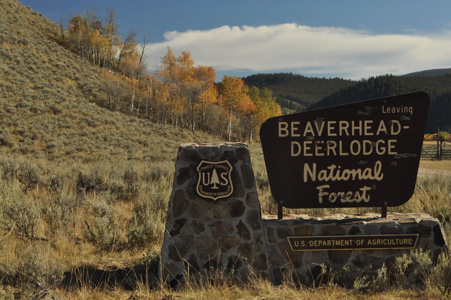
Every app on your phone will happily draw a line up a two-track. That line tells you a road exists. It doesn't tell you that you're allowed to drive it.
In Montana, whether a road is legal for your rig comes down to three things: who owns the ground under it, what that landowner's official travel designation says, and what time of year it is. Get one of those wrong and you can be on a closed road with a clean conscience and a ticket in your glovebox. On National Forest land, driving off the designated system can cost up to $5,000.
Here's the check worth running before any trip, plus the Montana-specific traps that catch people most.
1. Figure Out Whose Dirt You're On
The road's owner sets the rules, not the road's appearance. A graded gravel road and a rutted two-track can both be open, and both can be closed.
On a typical Montana run you'll cross four kinds of ground:
- National Forest (Forest Service). Most of the mountain trail riding near Bozeman, Butte and Helena.
- BLM (Bureau of Land Management). Lots of the lower sagebrush and breaks country, plus scattered parcels everywhere.
- State trust land (DNRC). Often shown in blue on maps. Square sections scattered through private ranch country.
- Private land, including roads that cross a ranch to reach public ground behind it.
A single route can pass through all four in a few miles. Ranges like the Bangtails and the Crazies are a patchwork of public and private ground with few access points. That's why your mapping app's land-ownership layer is the first thing to turn on, and why you check the rules for every piece the route touches, not just where it starts. My Public-Land Access & Ownership Guide breaks down each land type in more detail.
2. Find the Map That Actually Counts
Each landowner publishes its own legal travel rules, and none of them is your phone app.
| Land | The document that counts | A road that isn't shown |
|---|---|---|
| National Forest | Motor Vehicle Use Map (MVUM) for that forest or district | Closed. Driving anywhere not designated on the MVUM is prohibited. |
| BLM | The field office's travel plan map | Closed where a travel plan is done, per BLM's own maps. Cross-country travel is off limits statewide either way. |
| State trust land (DNRC) | DNRC recreational use rules | Closed. Only federal, state and dedicated county roads are open, plus roads DNRC has signed open. |
| Private land | The landowner | No permission, no drive. Stay on the roadway of any public road crossing it. |
A few details worth knowing:
- Forest Service: MVUMs list seasonal dates and vehicle classes for each route. A road can be open to all vehicles in July and closed in April. MVUMs are free at forest offices, and the AGF Motor-Use Map Archive links the current ones by area.
- BLM: Since 2003, Montana BLM has prohibited wheeled cross-country travel, with an exception for driving to a campsite within 300 feet of an existing road, after you find the site without driving. Check the local plan; newer plans can tighten that.
- State land: You need a Conservation License to recreate there if you're 12 or older. The two-track running across a blue section is closed to you unless it's a public road or DNRC has signed it open, even if it looks well used.
3. Know the Montana Traps
Winter range closures. A lot of Montana's forest roads close for wildlife, not weather. One Forest Service travel map lists closure codes like Dec. 1 to May 15 for big game security, and others running into June for elk calving. FWP Wildlife Management Areas managed as winter range, like Dome Mountain in Paradise Valley, stay closed to the public until May 15. A dry road in April doesn't mean an open one.
Gates don't settle the question either way. Some gates on public roads are illegal. Meagher County's Tenderfoot Road was gated by a landowner, and the State won a suit in 2016 restoring public access. Ravalli County's Hughes Creek Road is a county road that has never been abandoned, yet it remained blocked as of 2021 after decades of dispute. Near Bozeman, the Forest Service prevailed in a fight over Skunk Creek Road in the Bangtails.
Report a questionable gate to the county or the Public Land & Water Access Association.
Public roads through private ranches. When a public road crosses unfenced private land, the right of way is the road, not the land beside it. Montana lets landowners post land with fluorescent orange paint on posts or with signs. Stay on the roadway, don't camp or turn around in a pasture, and leave every gate the way you found it.
Blue squares. See step 2. A ranch two-track across state land looks public on every app, but it's closed to you unless it's a public road or DNRC has signed it open.
The Pre-Trip Checklist
- Turn on the land-ownership layer and note every agency the route crosses.
- Download the current MVUM for each National Forest segment and check its year.
- Pull the BLM field office travel map for any BLM segment.
- Confirm every state-land segment is on a federal, state or dedicated county road, or a DNRC-signed open road.
- Confirm any private crossing is a public road, or that you have permission.
- Check seasonal dates against your trip dates, including WMA and winter range closures.
- Check the forest or district alerts page for temporary closures (fire, washouts, logging).
- Download offline copies. Cell service ends where the good roads start.
For conditions and trail-day prep, see Know Before You Go.
When in Doubt
Call the ranger district or BLM field office before you go. They know about the gate that went up last month and the washout that isn't on any map yet. If the answer is still unclear, the route is closed until someone tells you otherwise.
Every closed road we drive anyway makes the case for closing the next one. Checking first is how we keep the ones we have.
This post is general guidance, not a legal determination for any specific road or parcel. Agency orders, recorded easements and on-the-ground closures control.
Next: Read the Map
Now that you know which map counts, here's how to actually read an MVUM and a BLM travel map, and what to do when they disagree with onX or Gaia.
Sources
- Forest Service: 2026 MVUM legal notice (Kisatchie NF sample)
- Helena-Lewis and Clark NF: Little Belt travel map, seasonal closure codes
- Montana DNRC: Recreational use rules
- Montana DNRC: Trust land public use
- BLM Montana OHV travel decision (2003, archived)
- BLM Butte Field Office: Scratchgravel Hills travel map
- Montana FWP: Posting private land
- Outside Bozeman: Worth the Wait (WMA closures)
- Outside Bozeman: Champs & Chumps, Spring 2026
- PLWA: Tenderfoot Road
- Daily Montanan: Hughes Creek Road
