

Montana • Absaroka Range • August 2020
The Road toIndependence
An 1890s gold camp at the top of the Boulder River, a rough Forest Service road and the best alpine meadows I’ve driven in Montana.
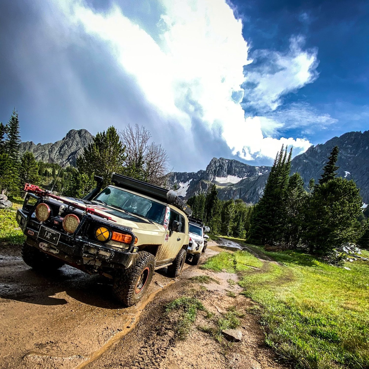
A Ghost Town at the Top of the Boulder
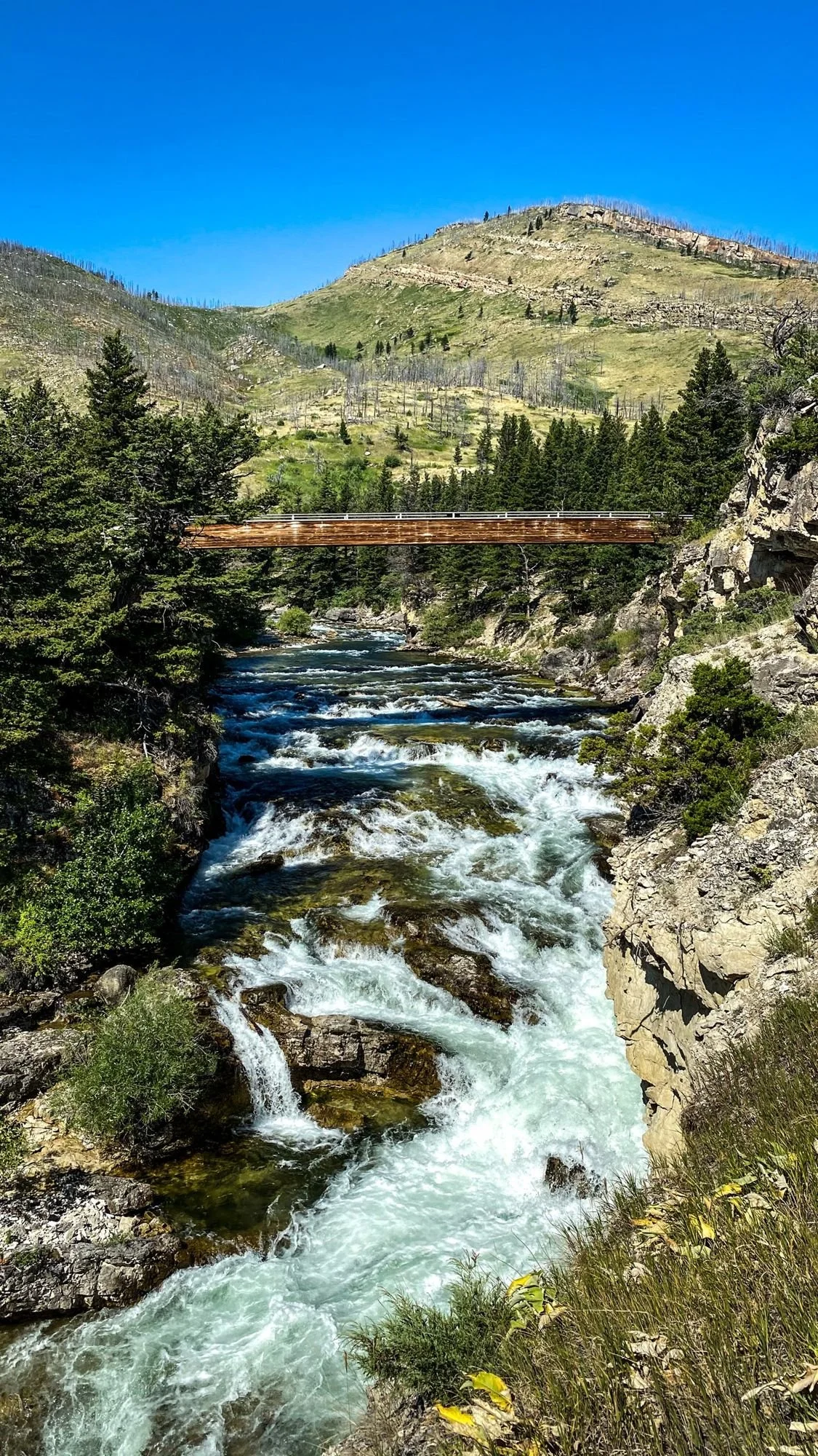
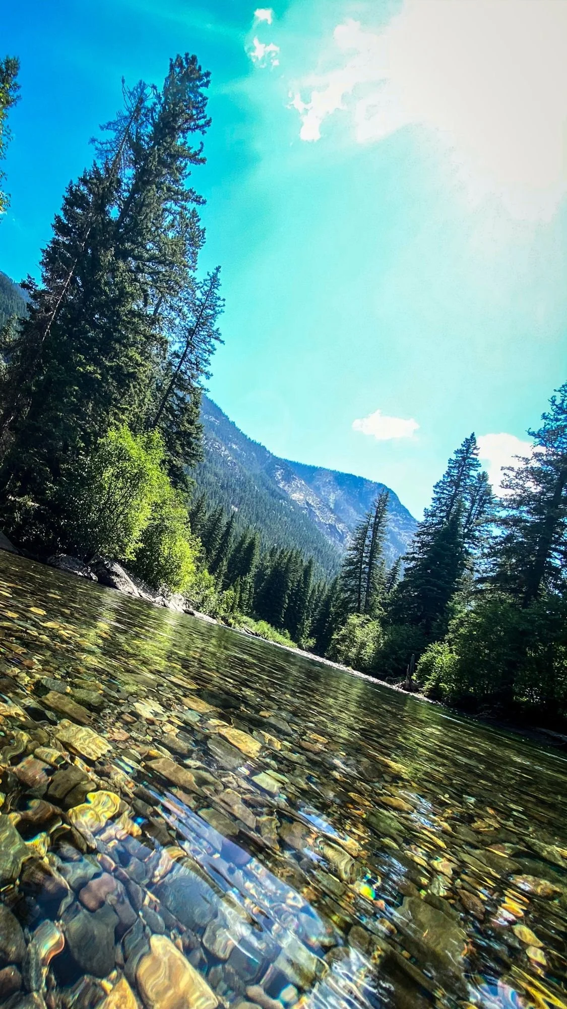
South of Big Timber, the Main Boulder Road follows the Boulder River deep into the Absaroka Range. Where the good road ends, a rough Forest Service road keeps climbing to what’s left of Independence, a gold camp that peaked in the 1890s, and on up into open alpine meadows under jagged peaks.
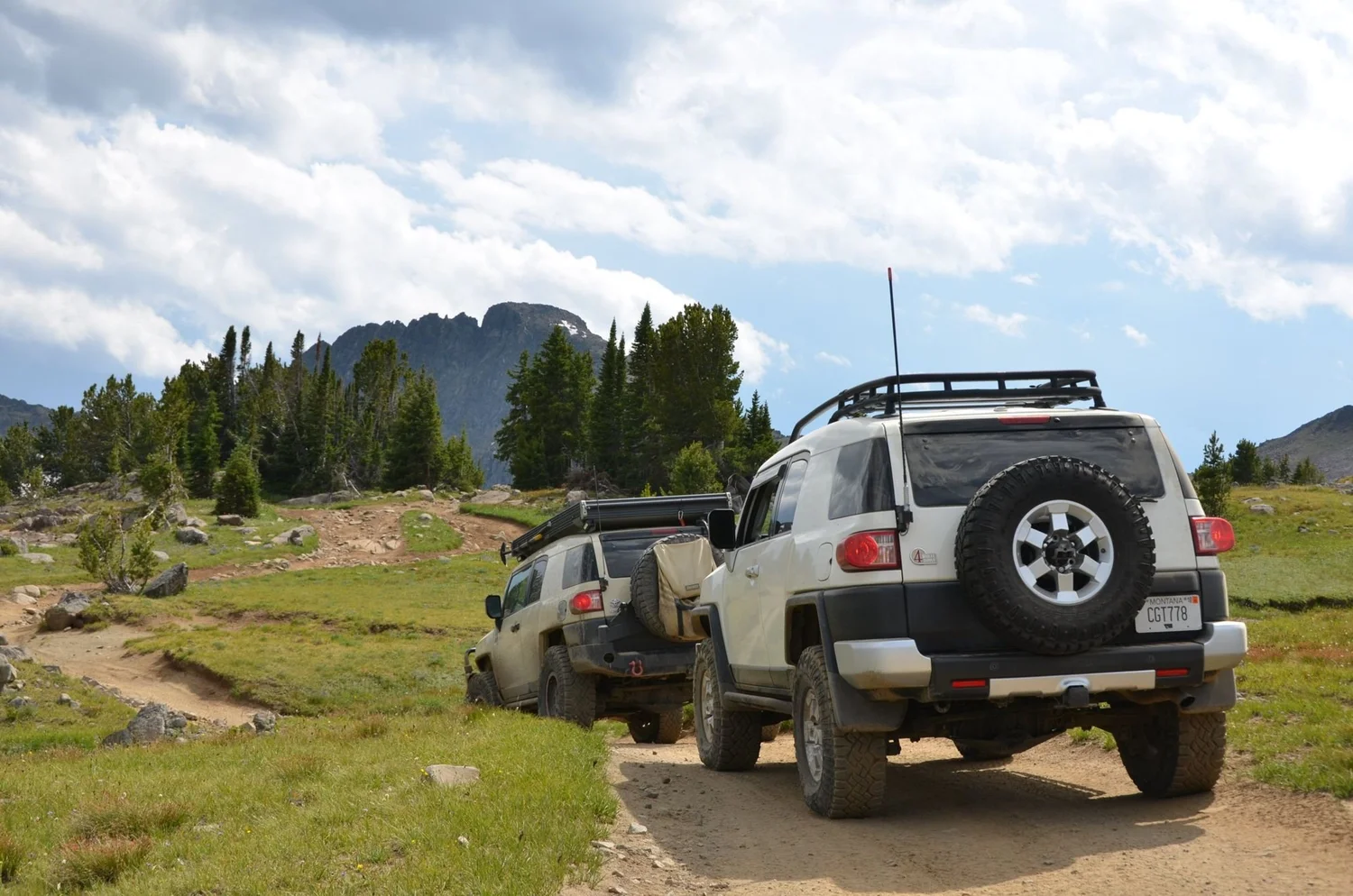
We ran it the first weekend of August 2020 with a group of FJ Cruisers and Land Cruisers. Here’s the history, the road and what to expect.
The History
Gold was found up here in the 1860s, but serious mining didn’t start until 1888, after a pack trail was cut in. Mines with names like the Poorman, Hidden Treasure, Daisy, King Solomon and Independence opened over the next few years, and the Independence Mine was running at full capacity by 1892.
At its peak, Independence had about 500 people, four saloons and two general stores. Then came the depression of 1893, the easy ore ran out and getting anything in or out was brutal. The Independence Mine closed for good in 1897, and the Hidden Treasure mill burned in 1904. According to Legends of America, the whole district produced roughly $120,000 in gold and silver between 1890 and 1905.
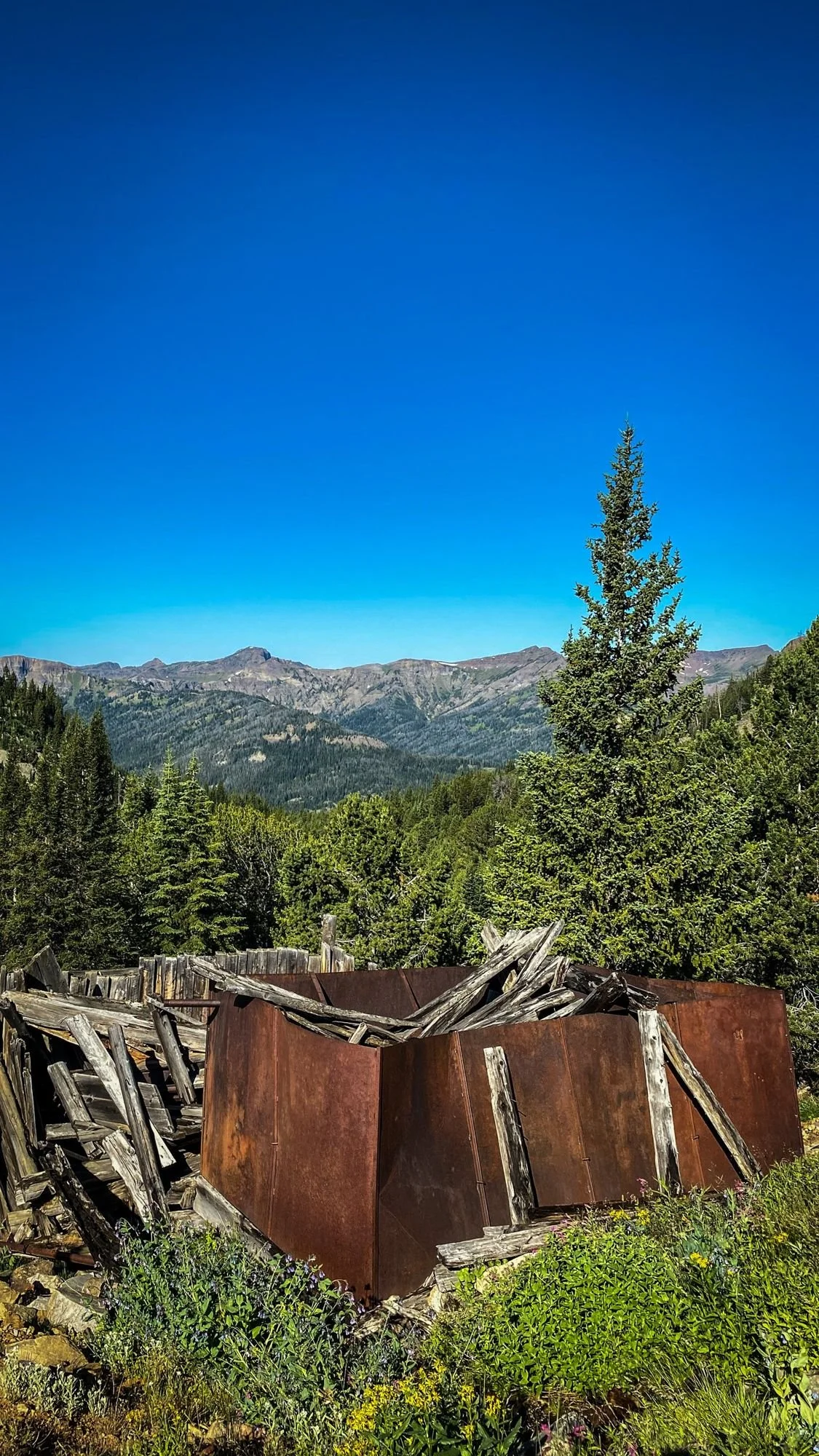
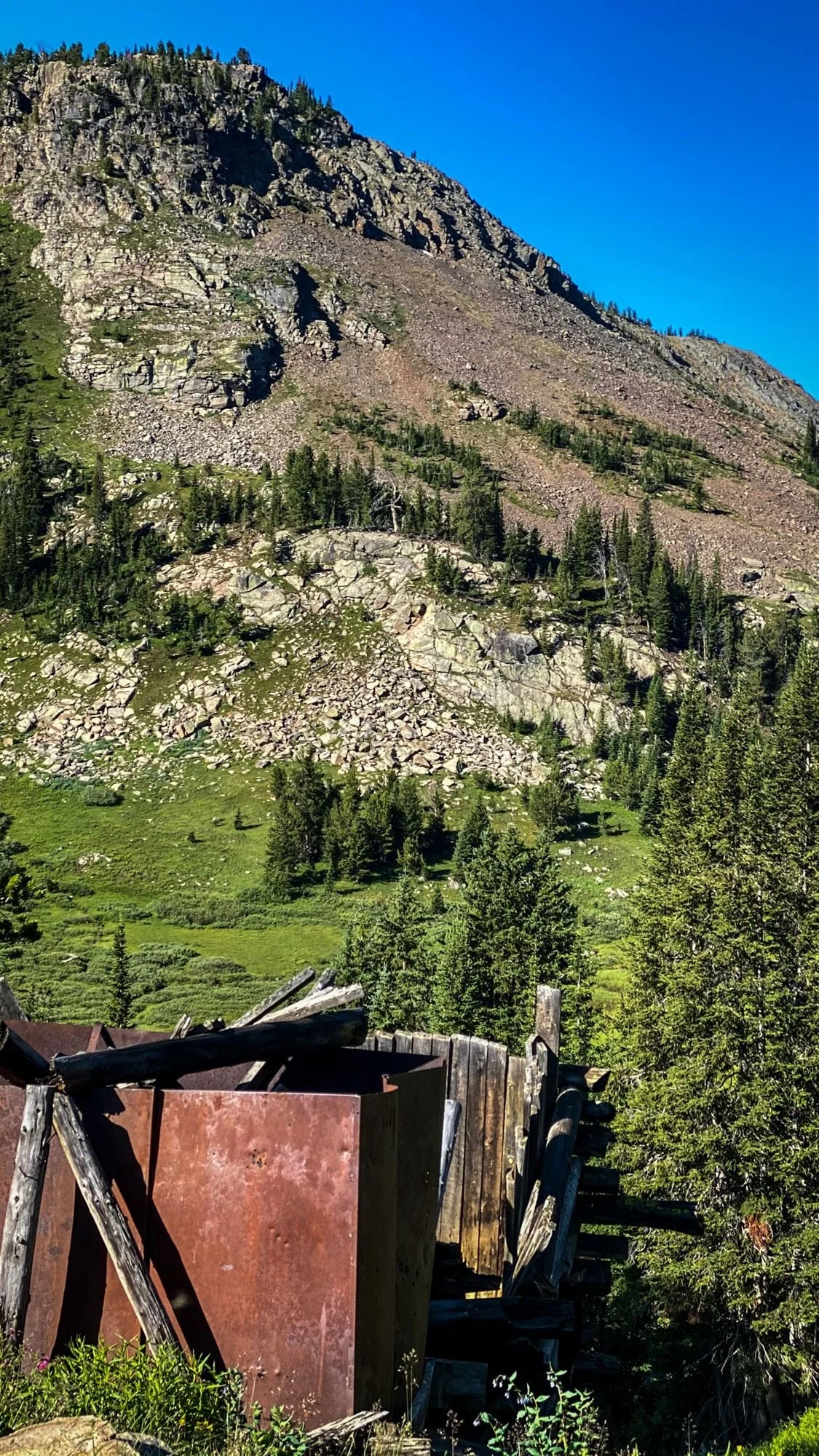
Today it’s a few tumbling cabins, rusted sheet metal and mining scraps scattered in the timber.
The Road
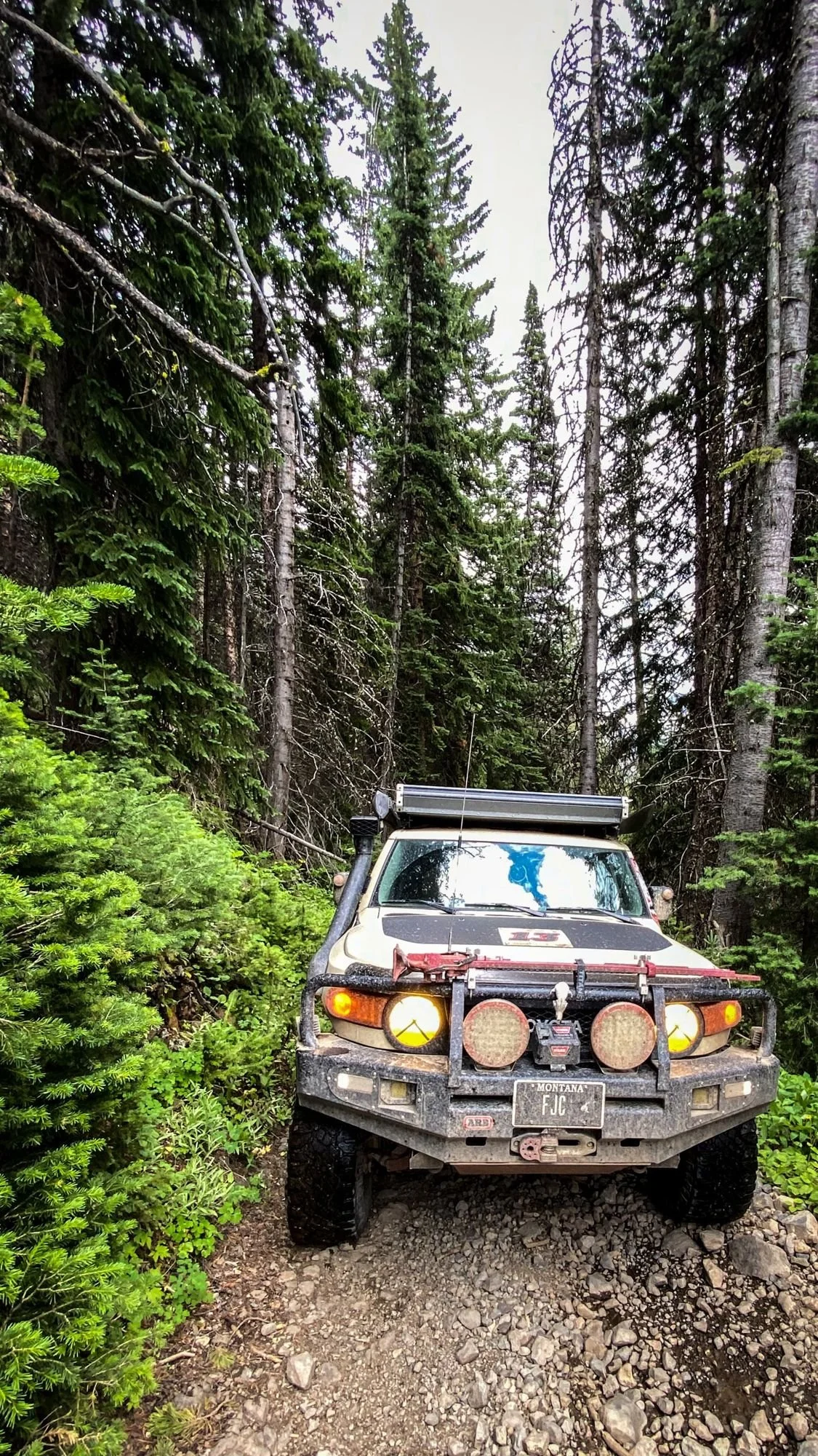
Past the trailhead, the Independence Road (Forest Road 6639) gets little to no maintenance and has a lot of water crossings. RV Travel puts the old townsite about four miles past the trailhead at around 7,900 feet, and the mine about four miles beyond that at around 9,300 feet.
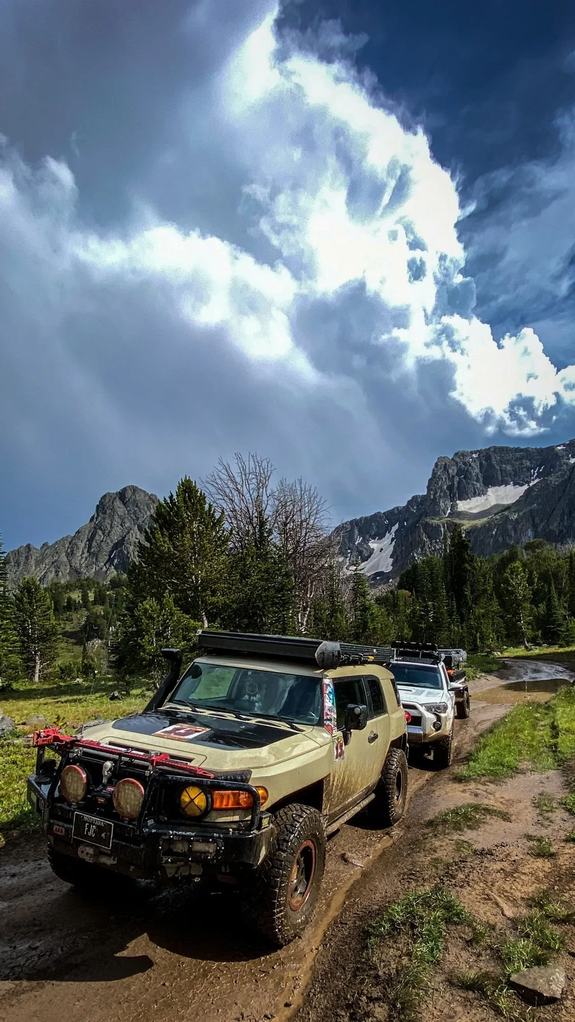
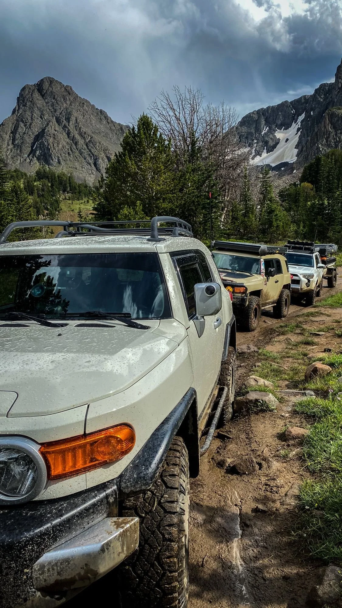
Vehicle. A midsize 4x4 with good clearance and a driver who’s done this before. Don’t believe anyone who tells you a high-clearance two-wheel-drive will make it.
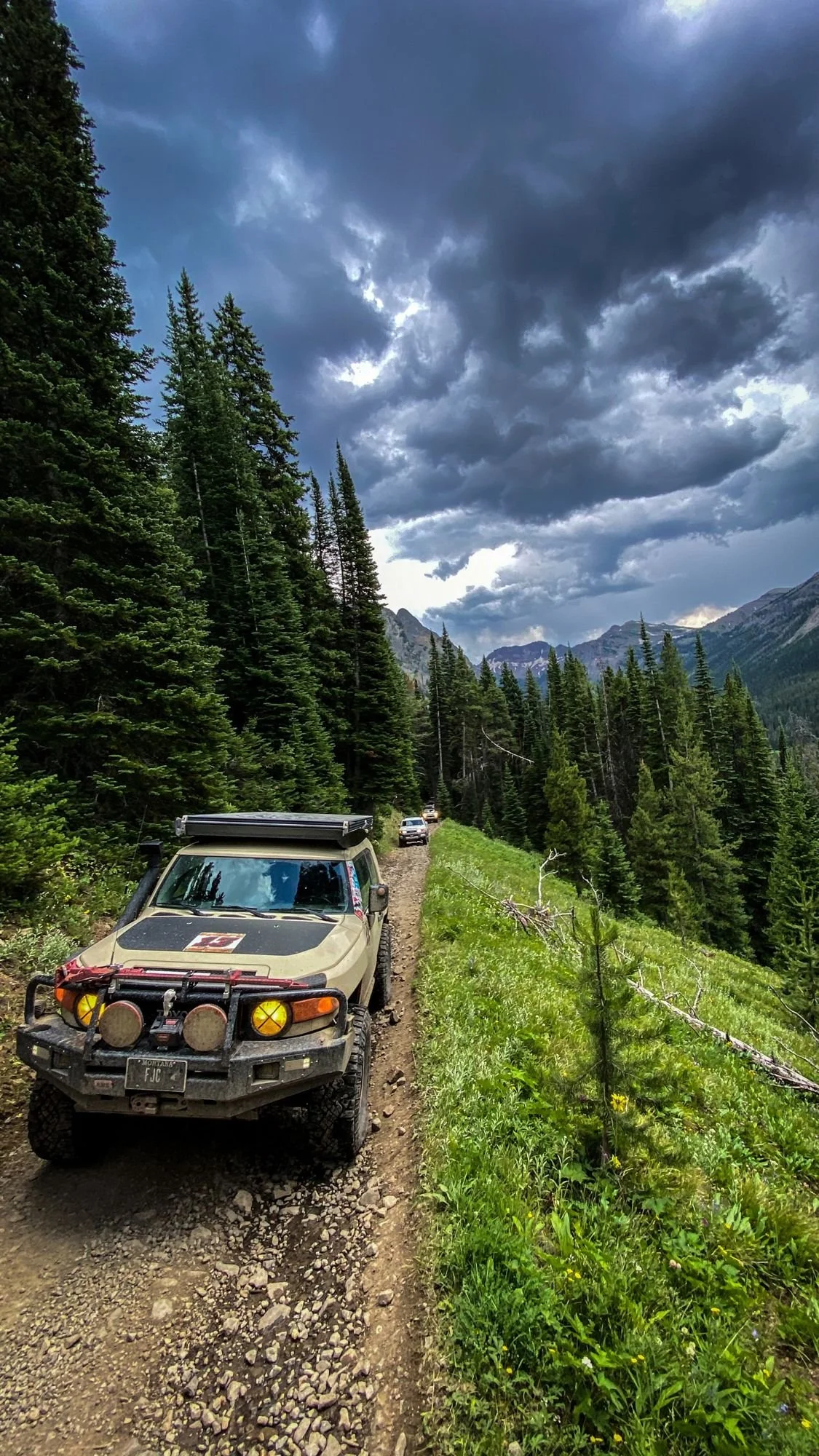
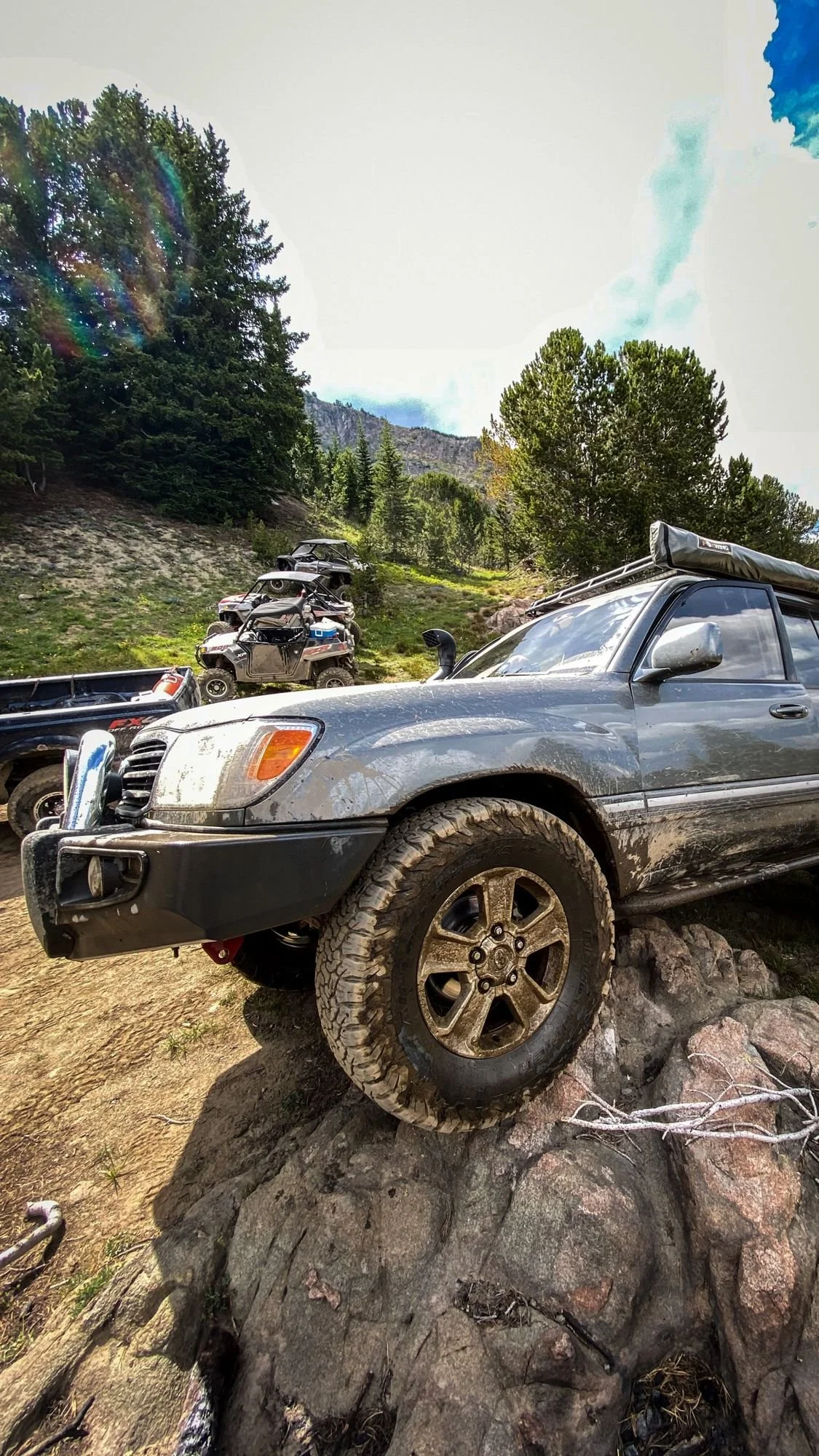
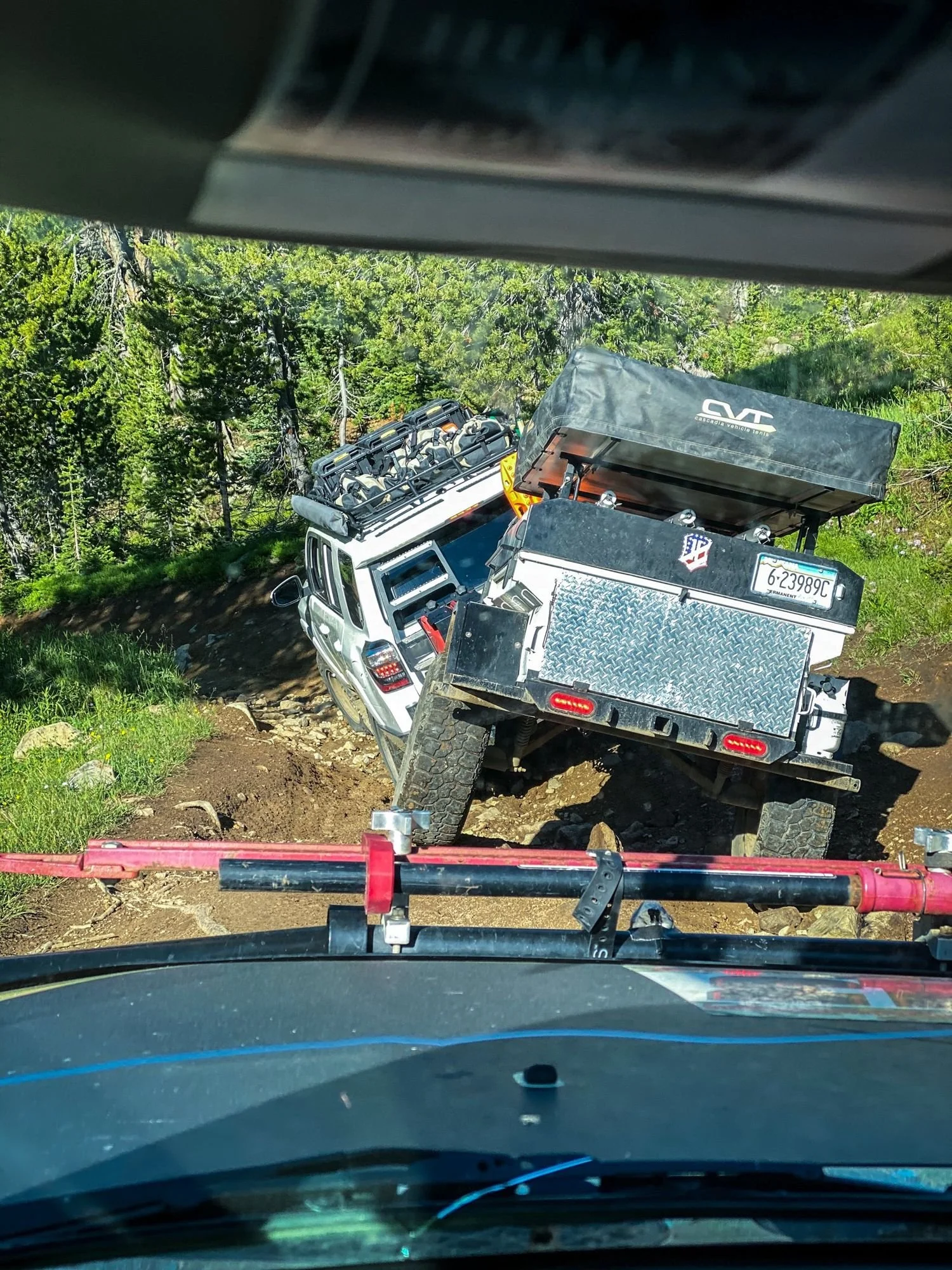
Obstacles. Loose rock, wet ruts, water crossings and a few steep, rocky pitches. Nothing crazy, but it’s long and it doesn’t let up.
Up Top
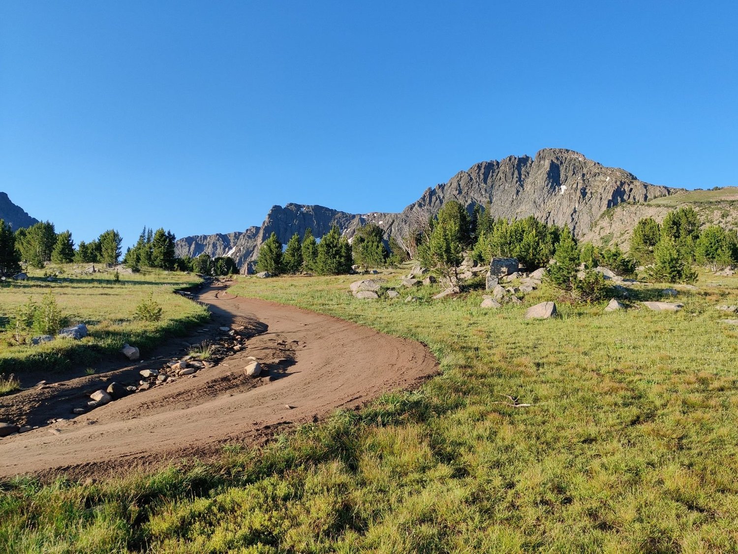
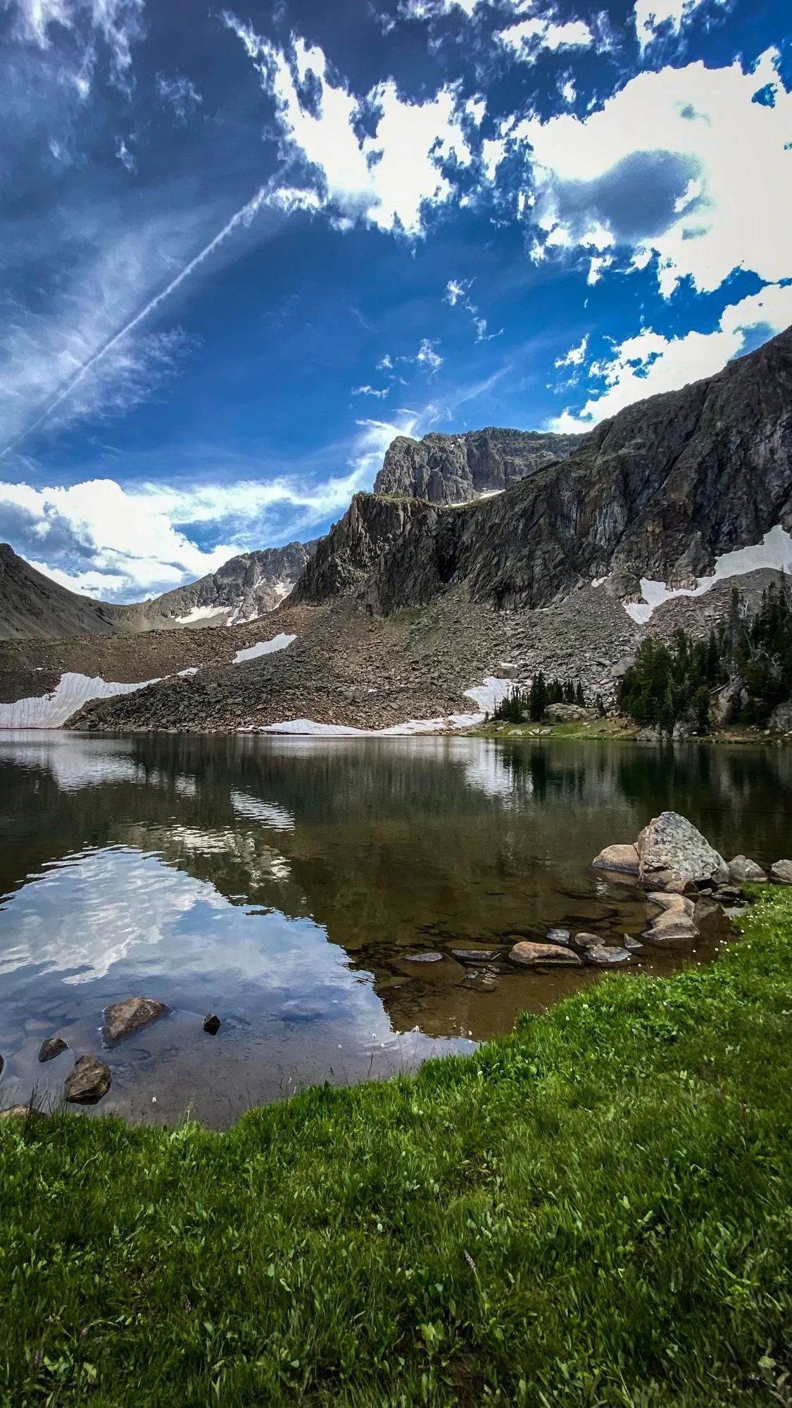
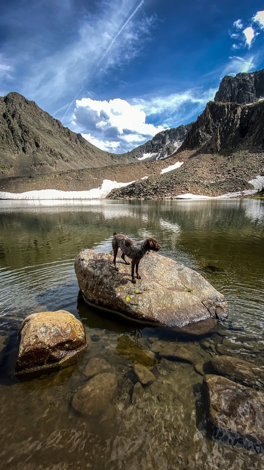
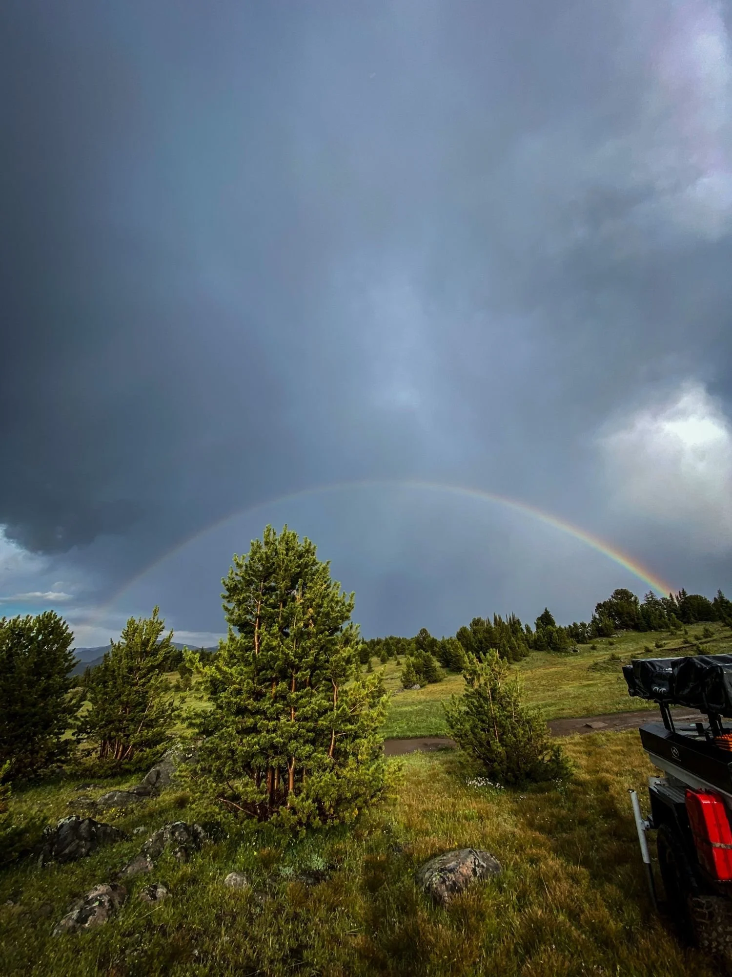
Above the camp, the trees open up into wide alpine meadows with peaks all around, small lakes still holding snow and a muddy two-track winding through all of it. This is the payoff. Take your time up here.
Know Before You Go
Season. Mid-summer. Snow hangs on up high well into July.
Getting there. From Big Timber, head south toward McLeod on Montana Highway 298, then follow the Main Boulder Road up the river to the Independence Area trailhead. It’s a long gravel drive before the hard part starts.
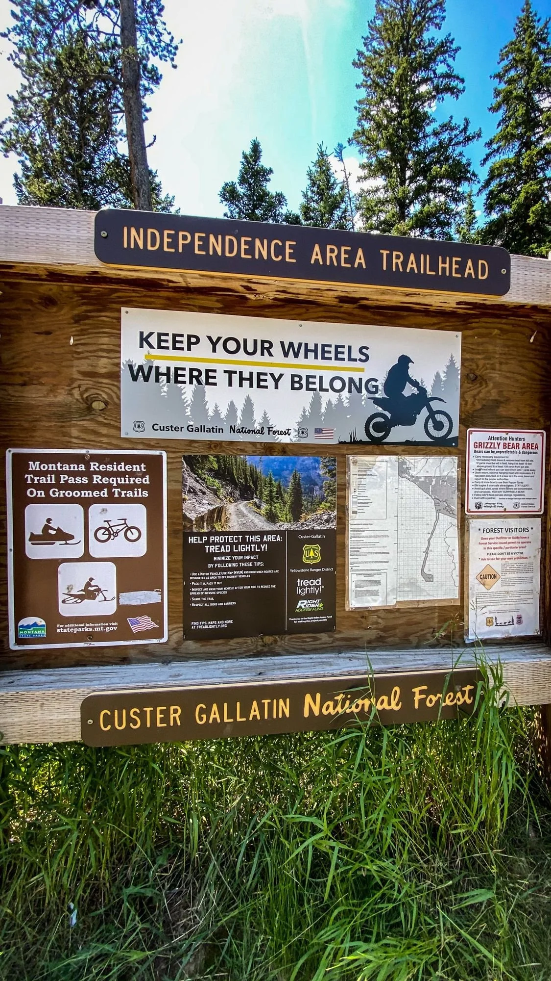
Stay on the road. The trailhead sign says it: keep your wheels where they belong. Beyond the mine area, trails head into wilderness, which is closed to vehicles.
Self-sufficient. There’s no cell service for miles. Bring recovery gear, a spare and a plan.
Leave the ruins alone. The cabins are falling down on their own schedule. Look, take pictures and leave everything where it is.
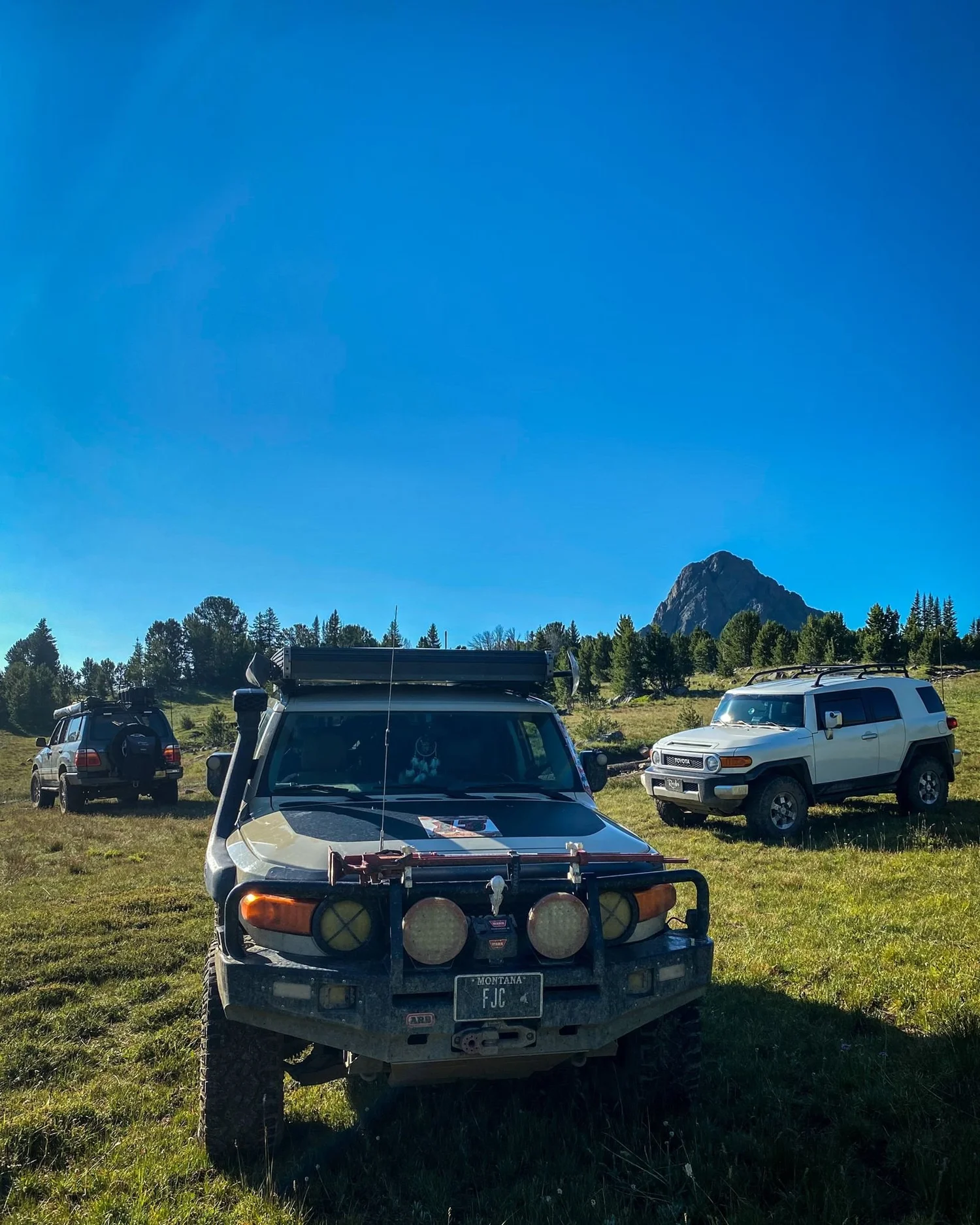
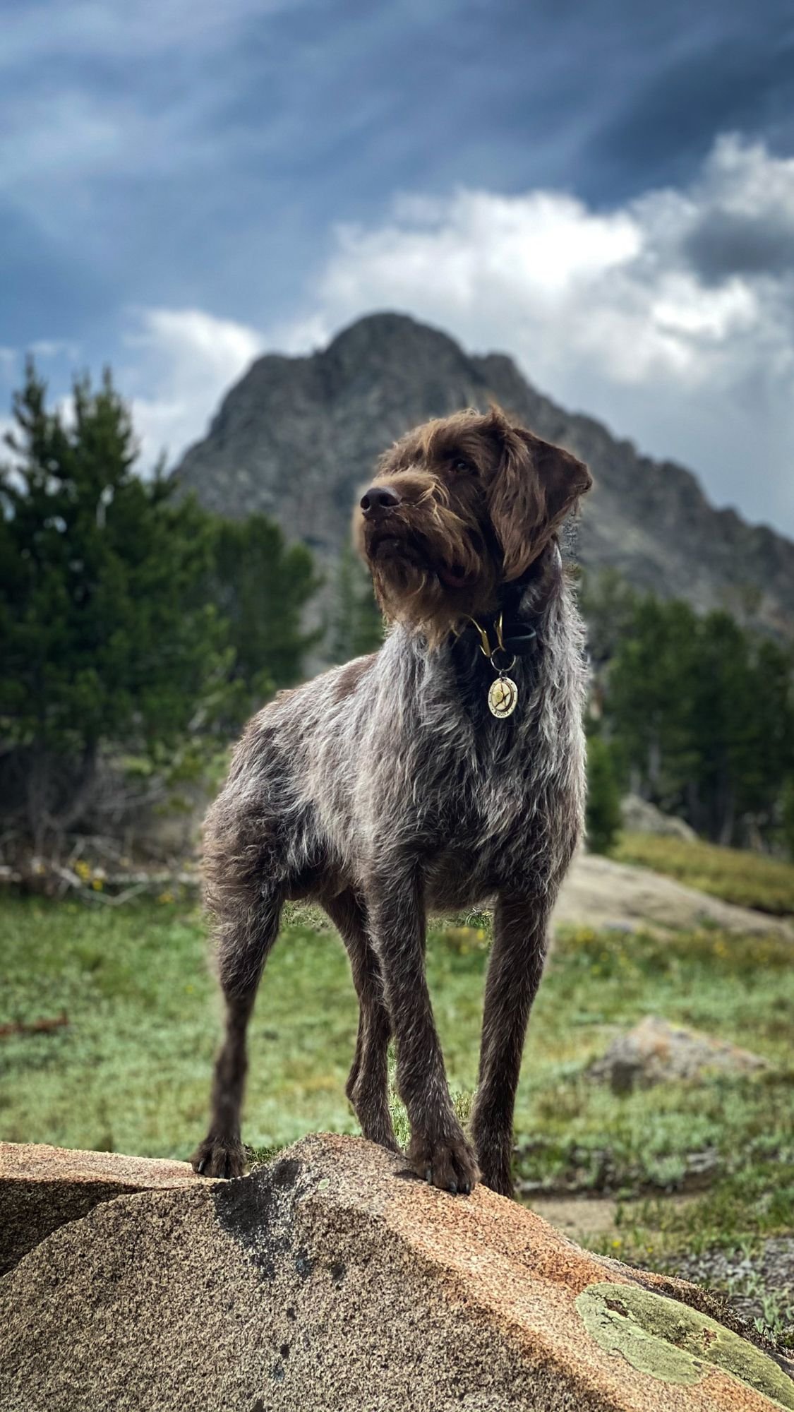
For more Montana trails with history, see driving through the Wickes Tunnel and Ringing Rocks. If you’re wondering about the dog, meet Boone.
More From Independence

Want Your Shots?
Every image is available as a full-resolution JPEG, RAW file or a custom edit, crop, print or social version.
Tell me the truck, which photo and what you need. Call or text 406-404-6913.
Never Lift.
Drive Fast · Take Chances · Never Lift
