

Wyoming • Clarks Fork Canyon • 2016–2017
The MorrisonJeep Trail Is Back
About 27 switchbacks, a sheer canyon wall and the Beartooth Plateau on top. The Morrison reopened in 2026 after four years buried by the 2022 flood. Here’s what it was like before.
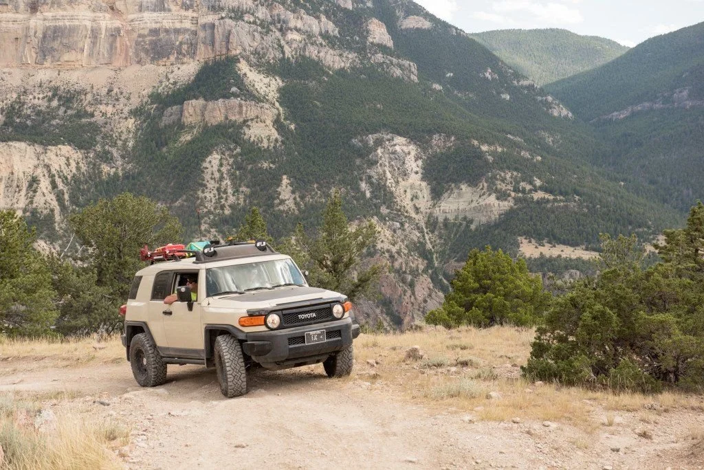
One of the Great Ones
The Morrison Jeep Trail climbs out of the Clarks Fork Canyon northwest of Cody, Wyoming, up a wall of switchbacks cut into the canyon side and onto the Beartooth Plateau. It’s a short drive from southern Montana and one of the most famous trails in the region.
We ran it in July 2016 and again in August 2017. Then in June 2022, the same floods that shut down Yellowstone buried the lower canyon and the switchbacks in rock, and the trail stayed closed for four years. In September 2026, it reopened.
So here’s the Morrison as we knew it, and what to know about it now.
The Switchbacks
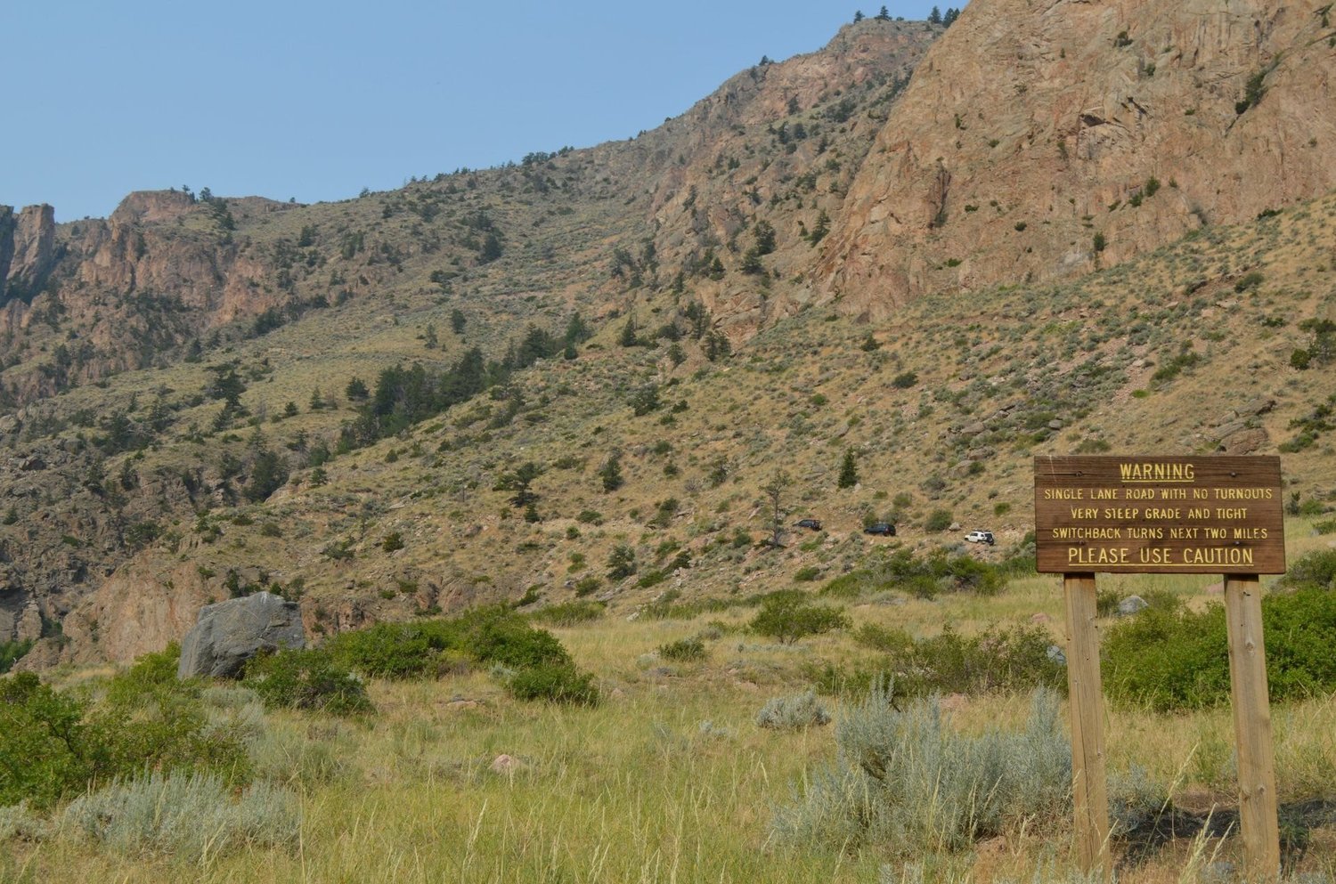
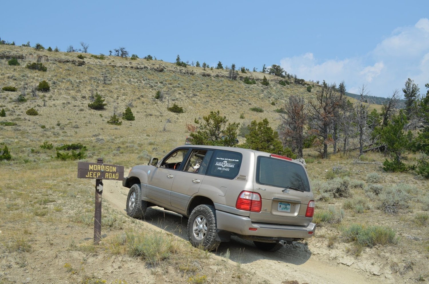
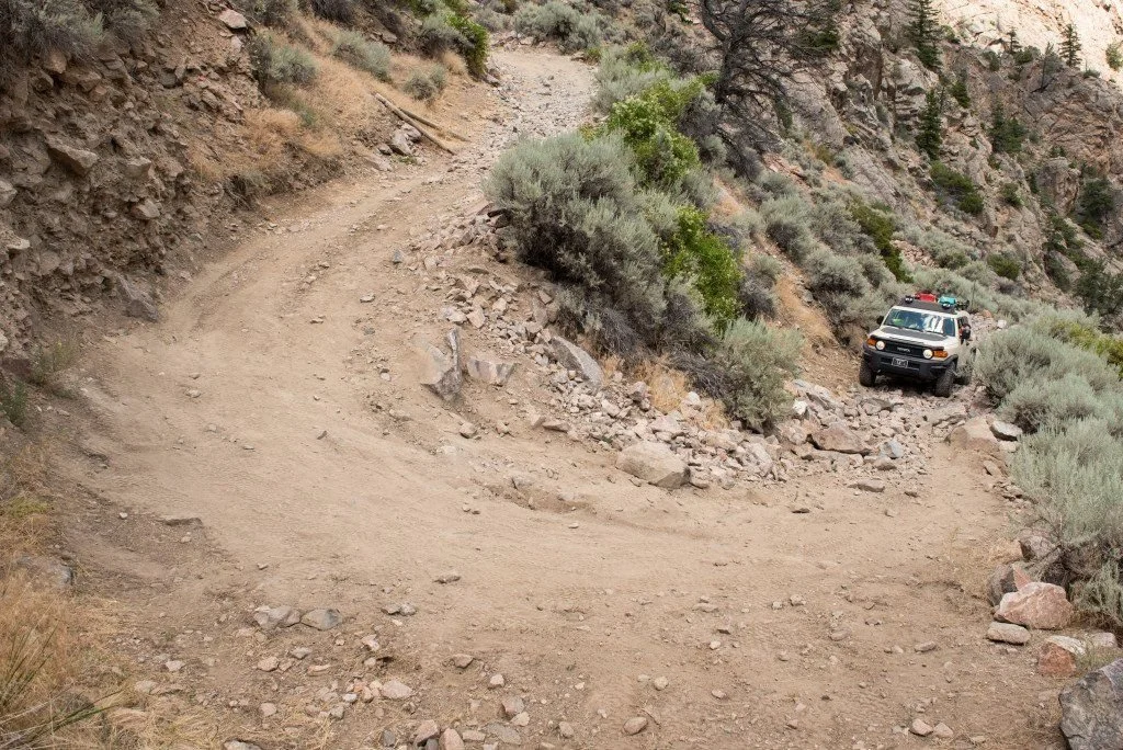
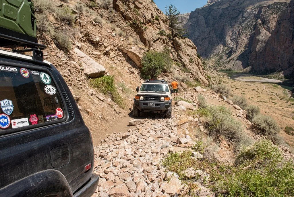
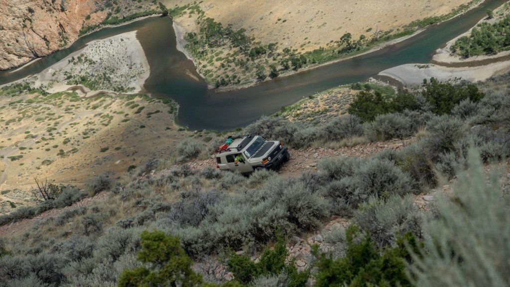
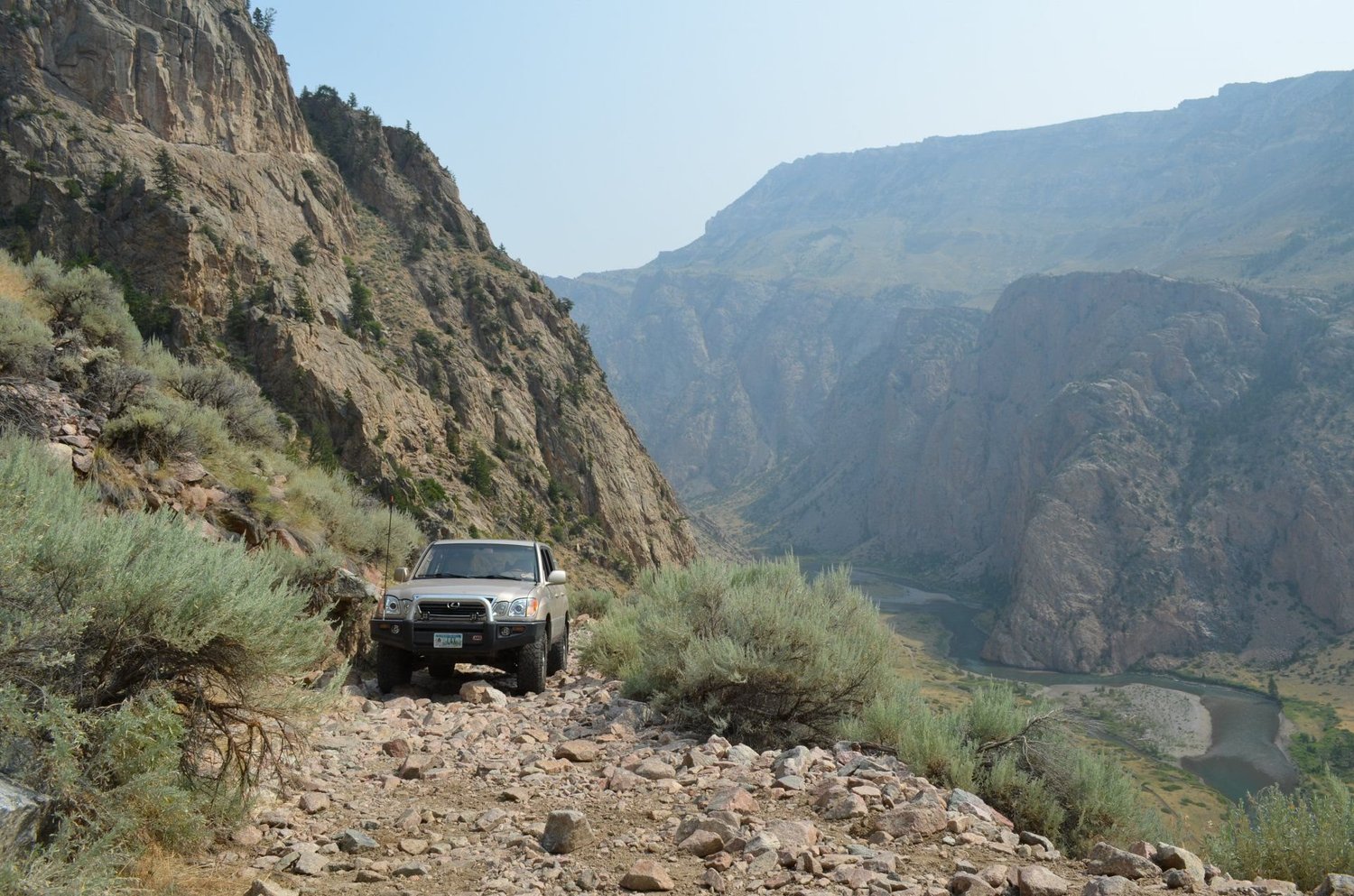
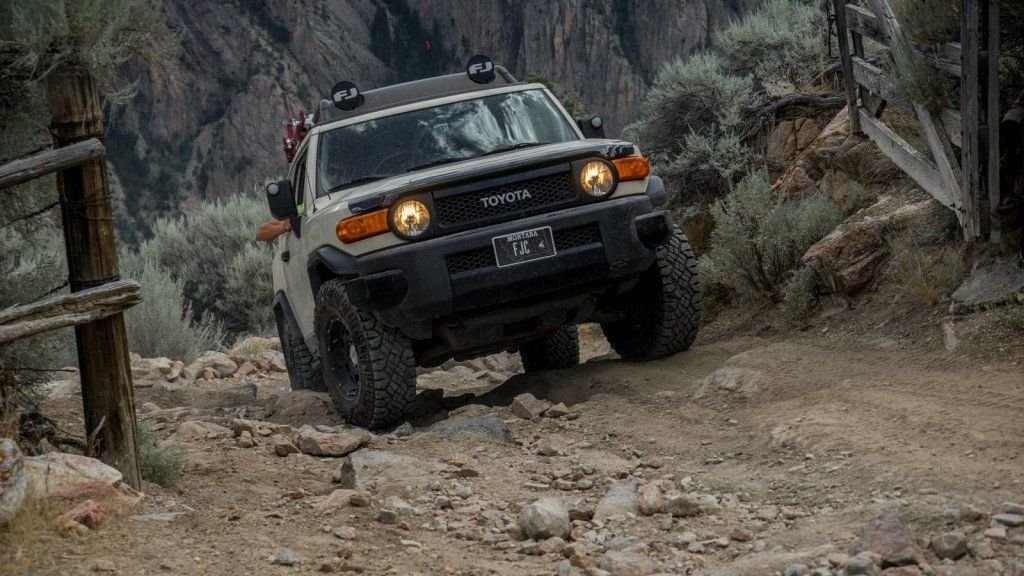
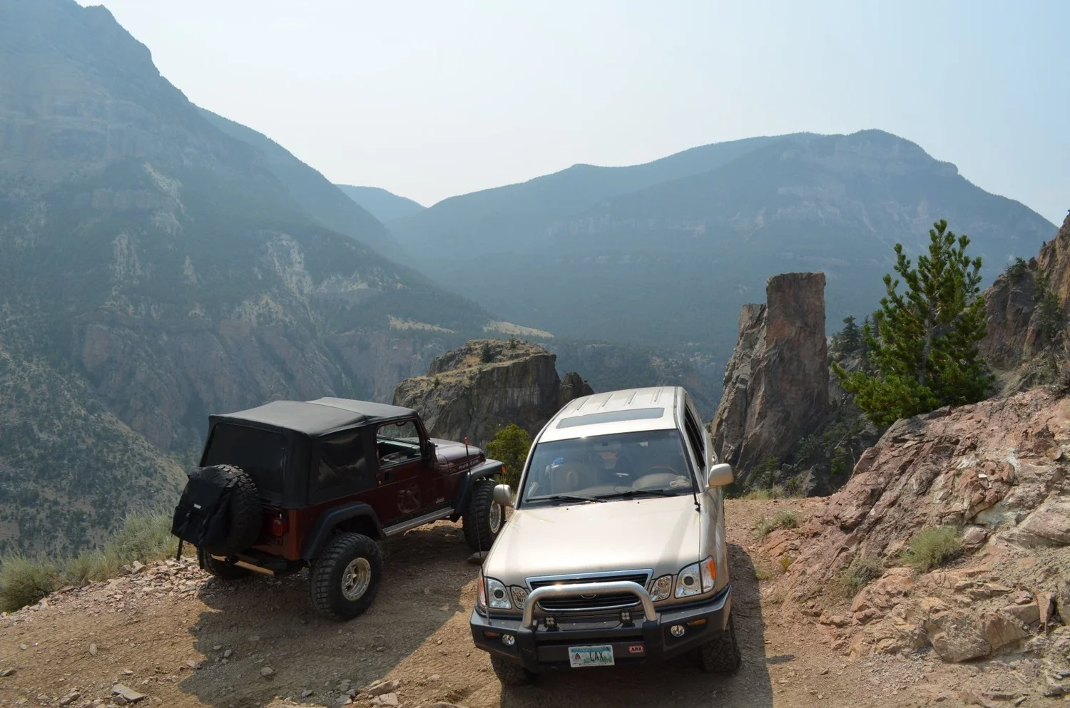
This is why people drive here. TrailsOffroad puts the climb at about 2,000 feet in two miles. Cowboy State Daily counts 27 switchbacks, and the turns are tight enough that anything bigger than a short-wheelbase rig is doing multi-point turns with a cliff on one side.
It’s a single-lane shelf road with no turnouts. Once you start up, you’re committed. Spotters help on the tightest turns, and nobody should be in a hurry.
Down in the Canyon
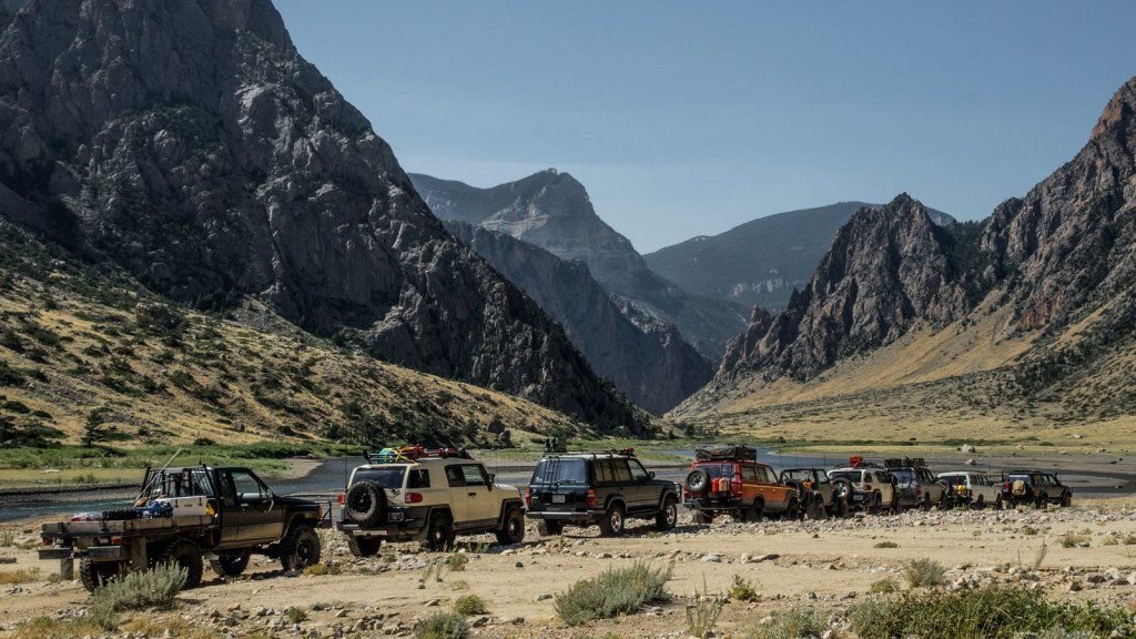
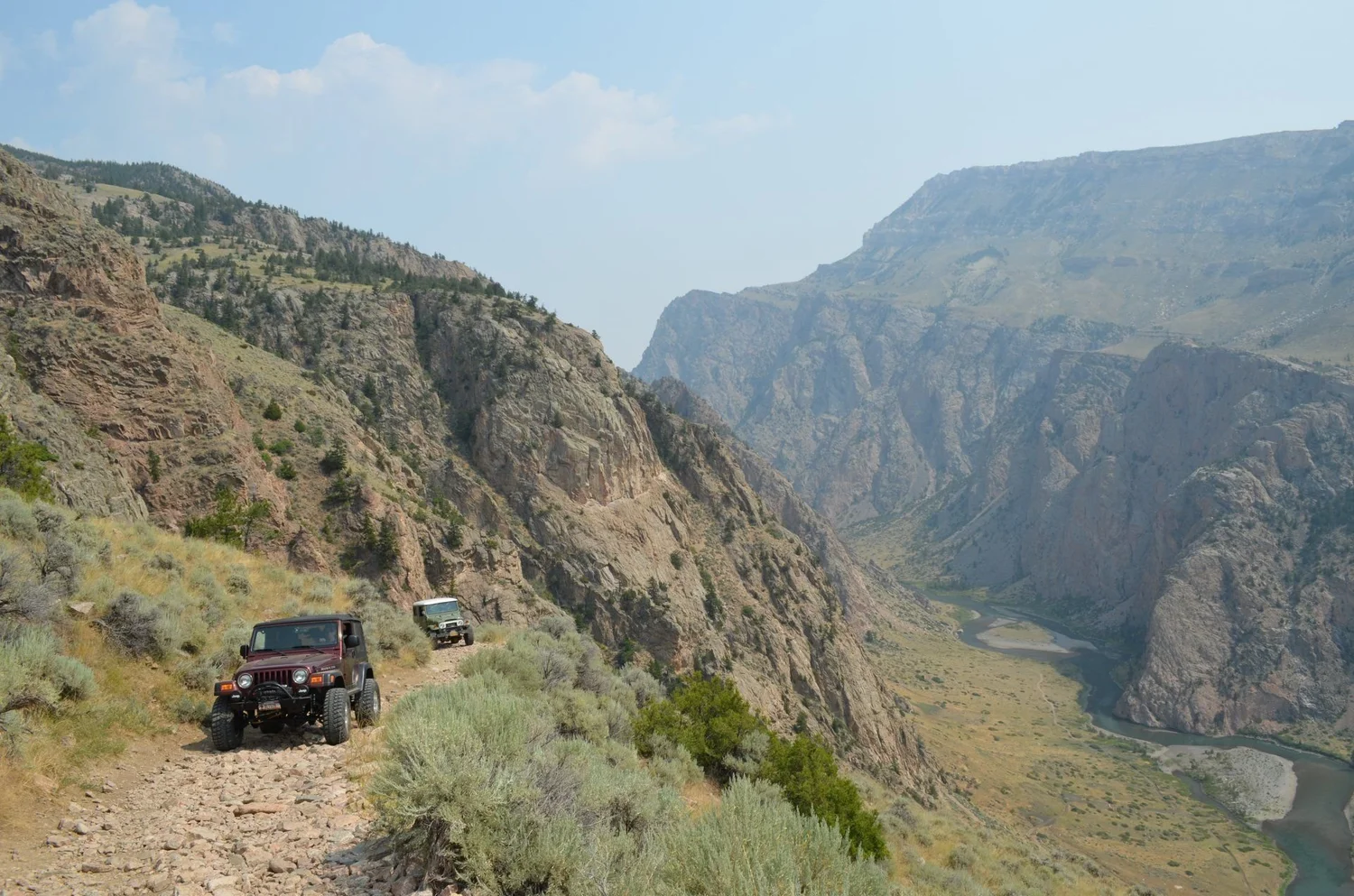
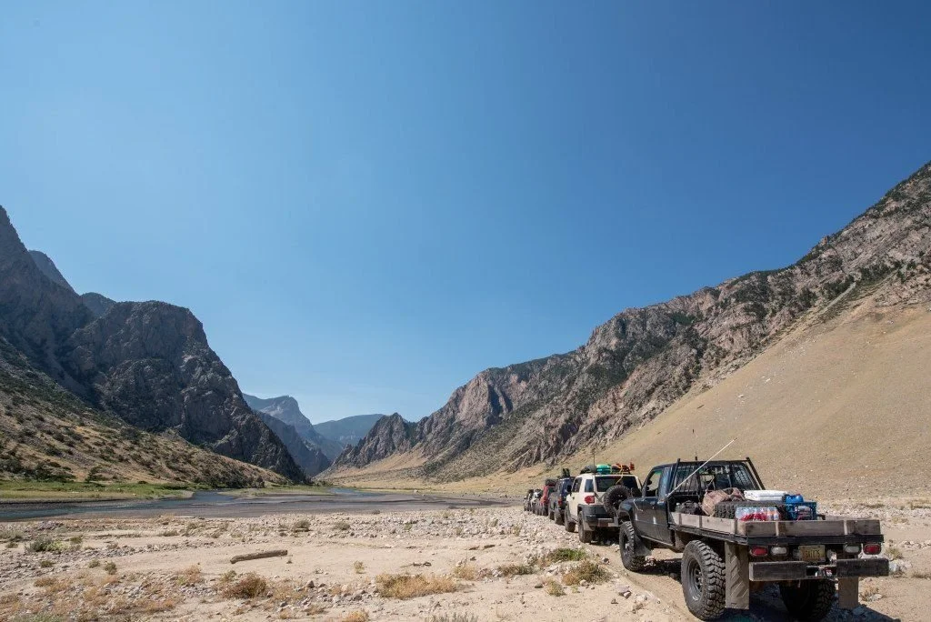
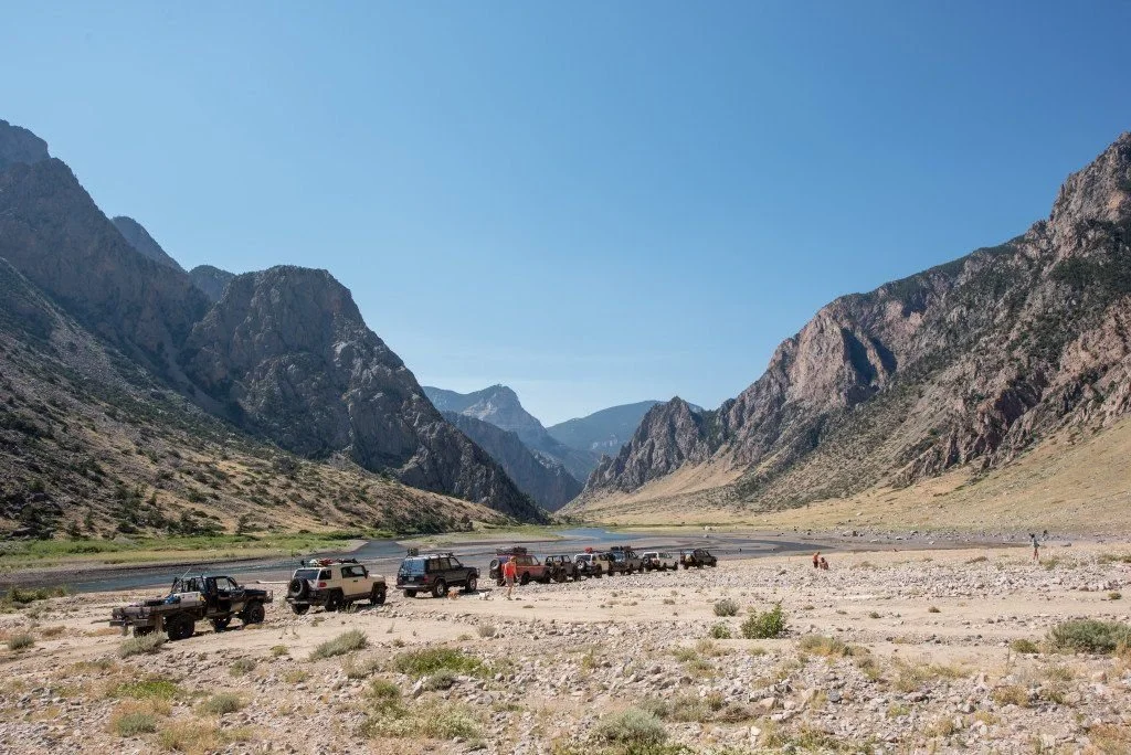
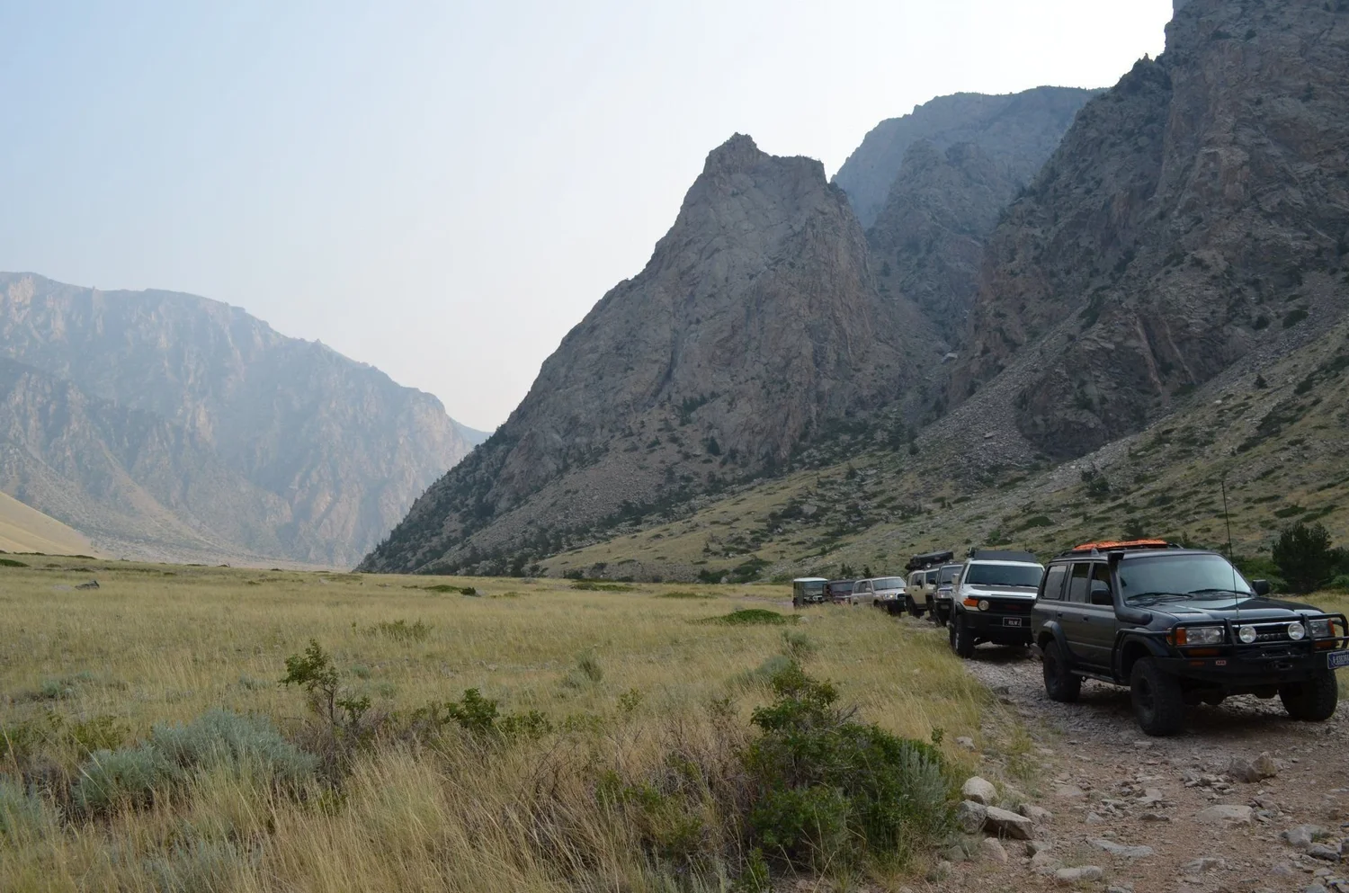
Before the climb, the trail follows the Clarks Fork up the canyon floor on a rocky road. The walls go straight up on both sides. This is the section the 2022 flood buried, and it’s been rebuilt.
The canyon is also history. It’s part of the Nez Perce National Historic Trail, the route Chief Joseph and the Nez Perce took in 1877 while fleeing the U.S. Army.
On Top
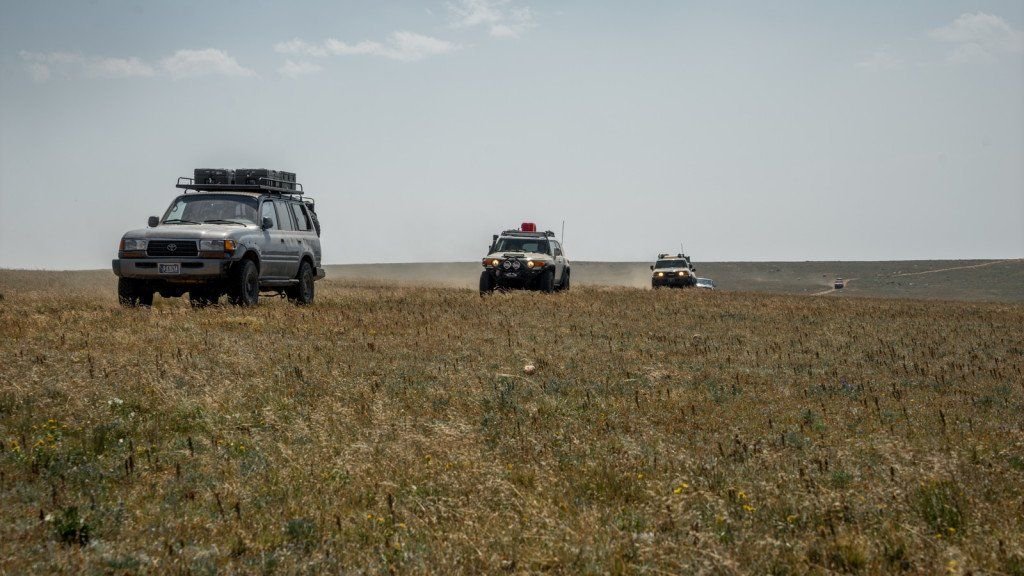
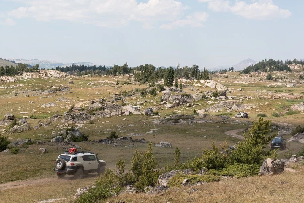
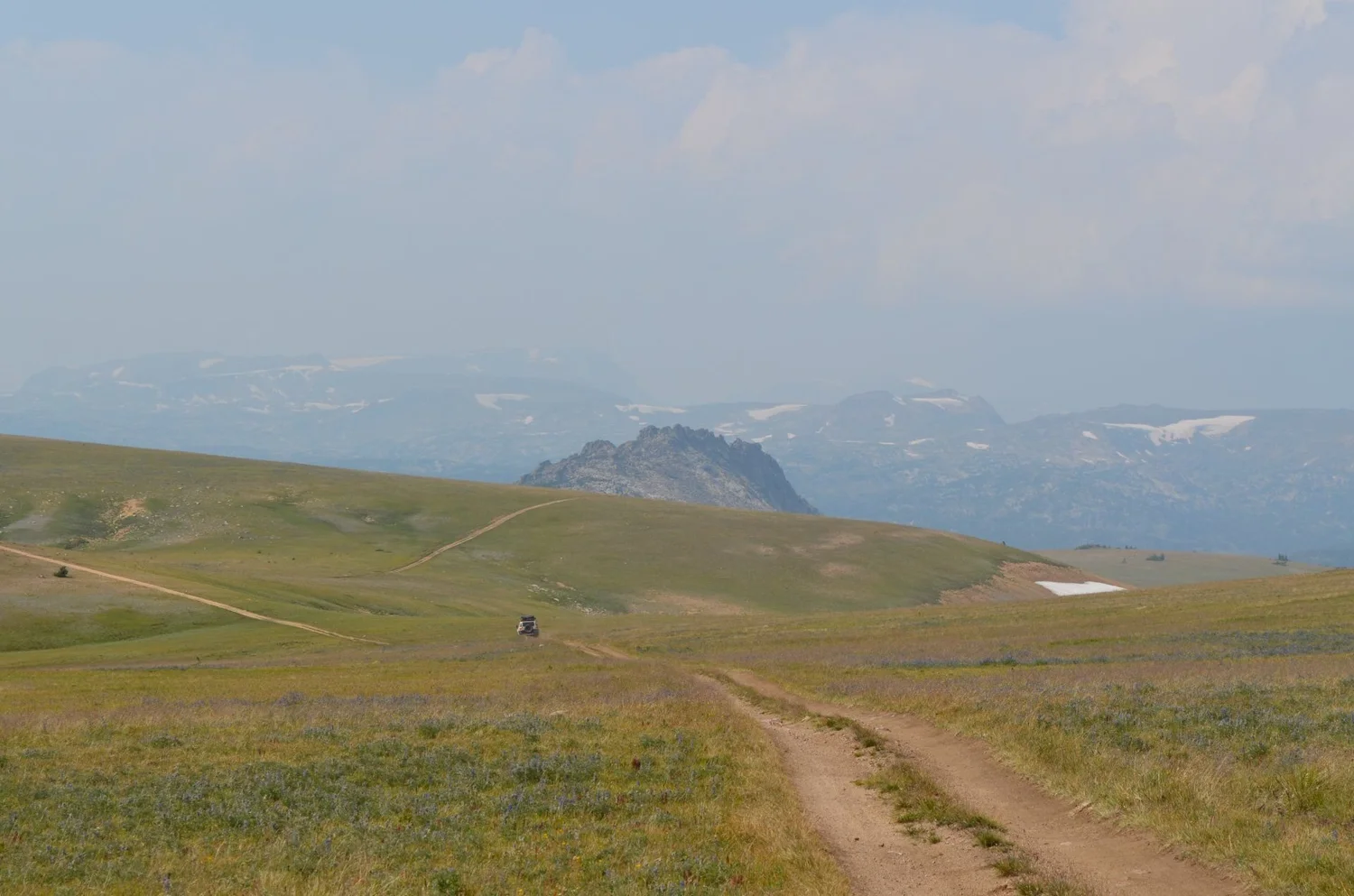
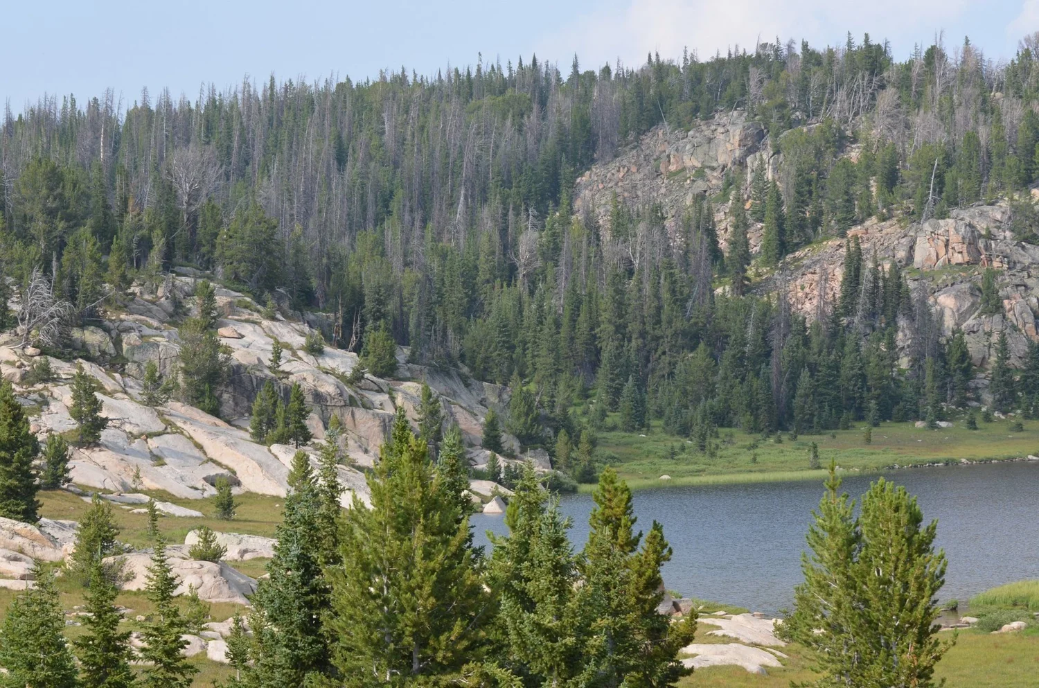
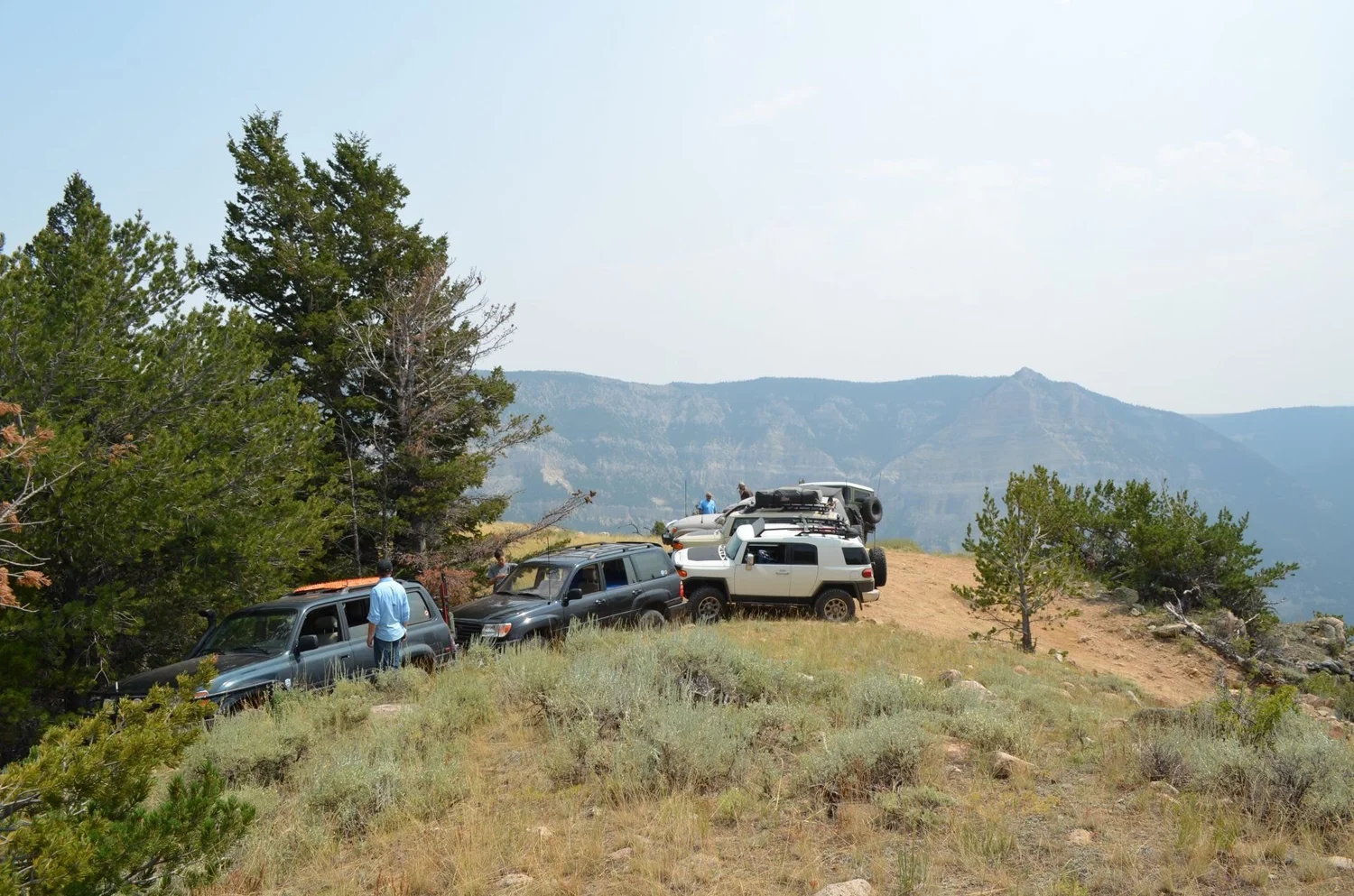
At the top of the switchbacks, the world opens up into the Beartooth Plateau: big grassy flats, granite, small lakes and hazy peaks in every direction. After the switchbacks, it feels like a different planet.
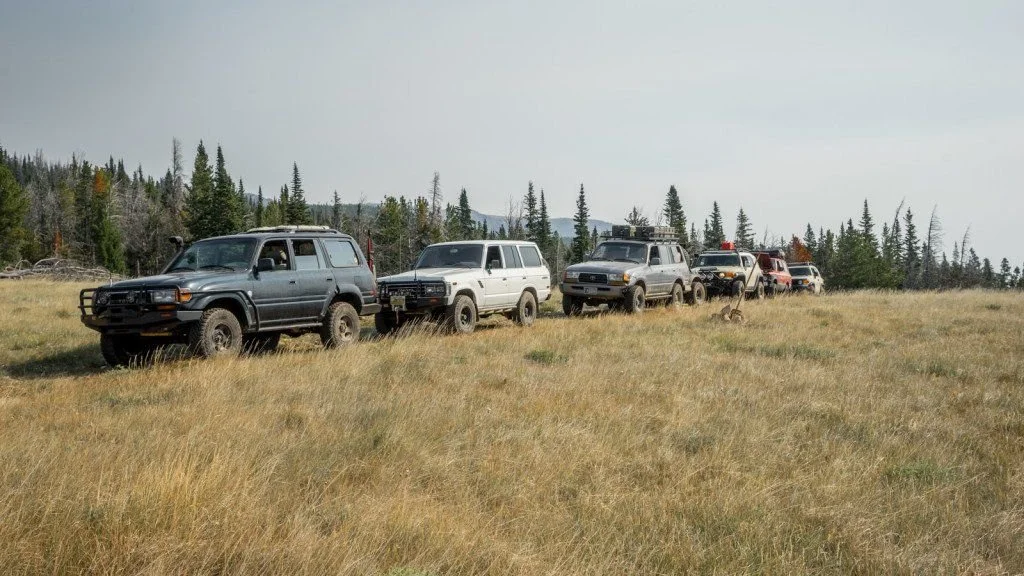
The Morrison Now
It’s open again, partly. According to Cowboy State Daily, the Shoshone National Forest and Wyoming State Trails program reopened the lower canyon and the switchbacks in September 2026, working with the BLM on funding. That’s Phase One.
The top isn’t done. Phase Two, about 15.6 miles from the top of the switchbacks to the plateau, is expected to take two more construction seasons, starting around July 2027. onX says the Forest Service is asking people to drive it out and back instead of as a loop, to go uphill in the morning and downhill in the late afternoon, and to check with the Wapiti Ranger District for work closures.
It’s still the Morrison. High clearance, real tires, a short wheelbase if you have one, and a driver who’s comfortable with exposure. Bring a spotter.
For more trail reports, see Seven Mile Rim, Moab and the Wickes Tunnel.
More From the Morrison
Want Your Shots?
Every image is available as a full-resolution JPEG, RAW file or a custom edit, crop, print or social version.
Tell me the truck, which photo and what you need. Call or text 406-404-6913.
Never Lift.
Drive Fast · Take Chances · Never Lift
